Tag: thunderstorm

  • “Supercell”

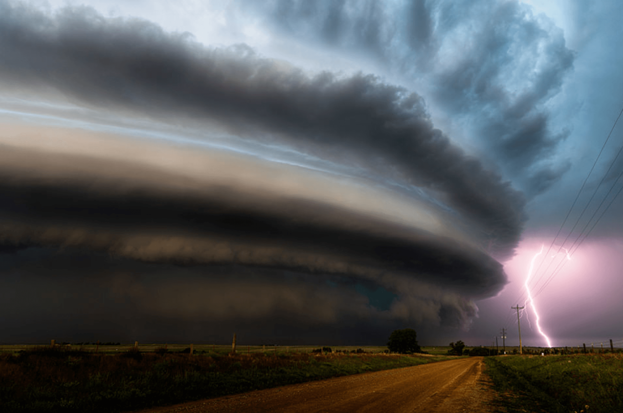
    “Supercell”

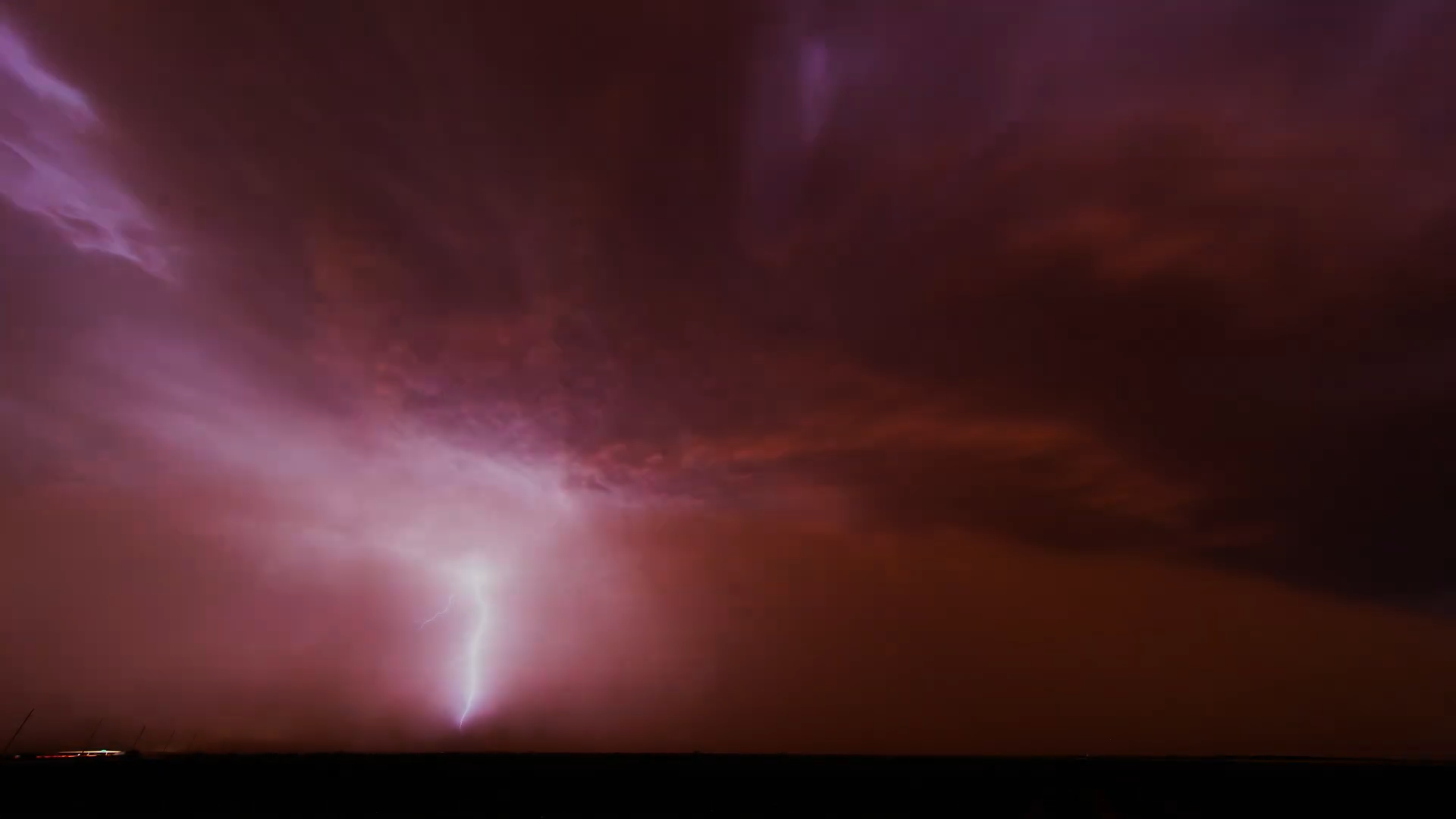
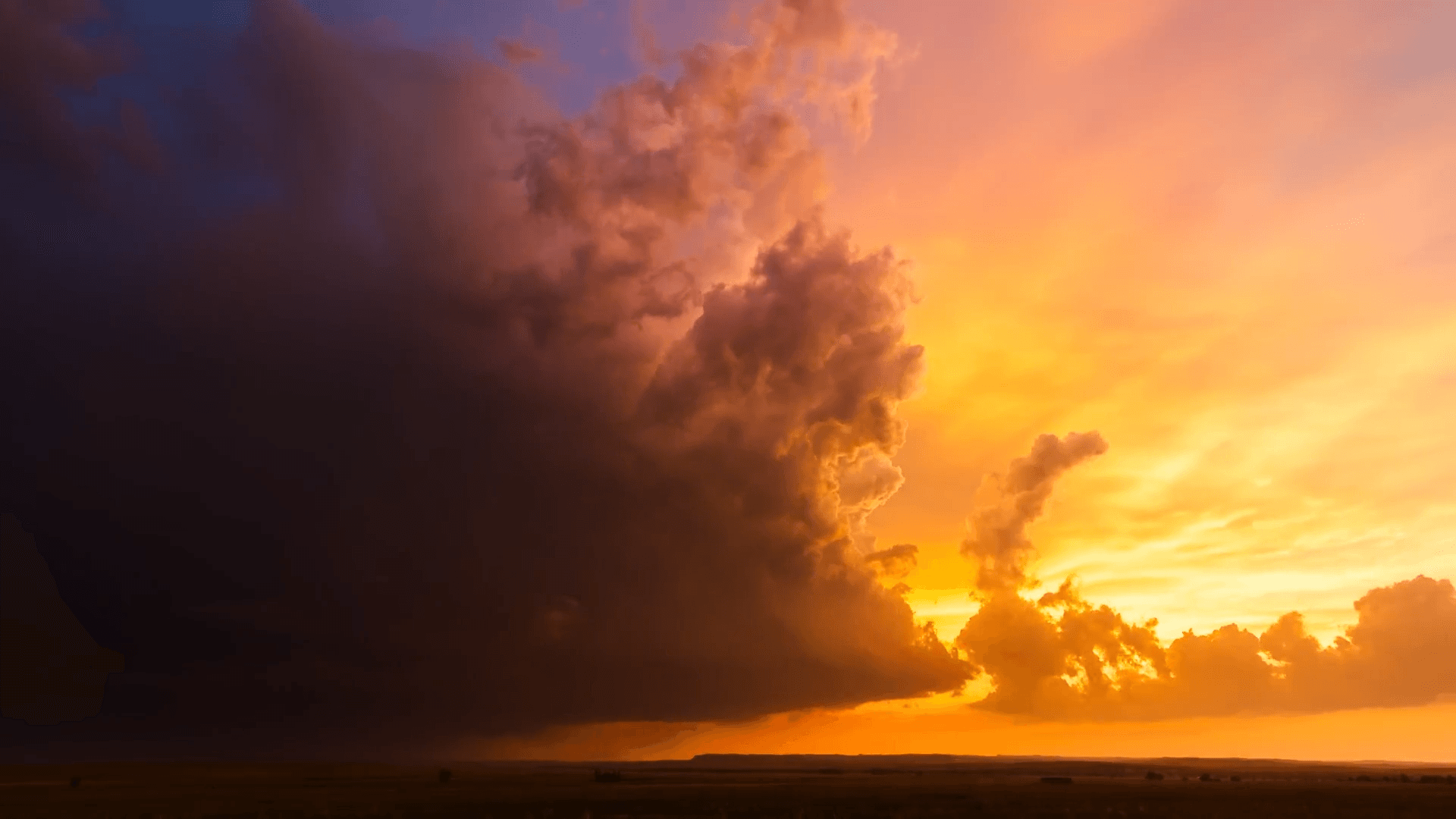
    A supercell thunderstorm in New Mexico appears almost otherworldly in this photo from Dennis Hualong Zhang. Glowing from within and stacked like a layer cake, the storm menaces the nearby road and fields. Lightning in the distances completes the composition. Images like this are a reminder that our atmosphere–despite frequently seeming calm and ordinary–harbors incredible turbulent energy. (Image credit: D. Zhang; via ILPOTY)

    "Supercell" by Dennis Hualong Zhang.
  • Featured Video Play Icon

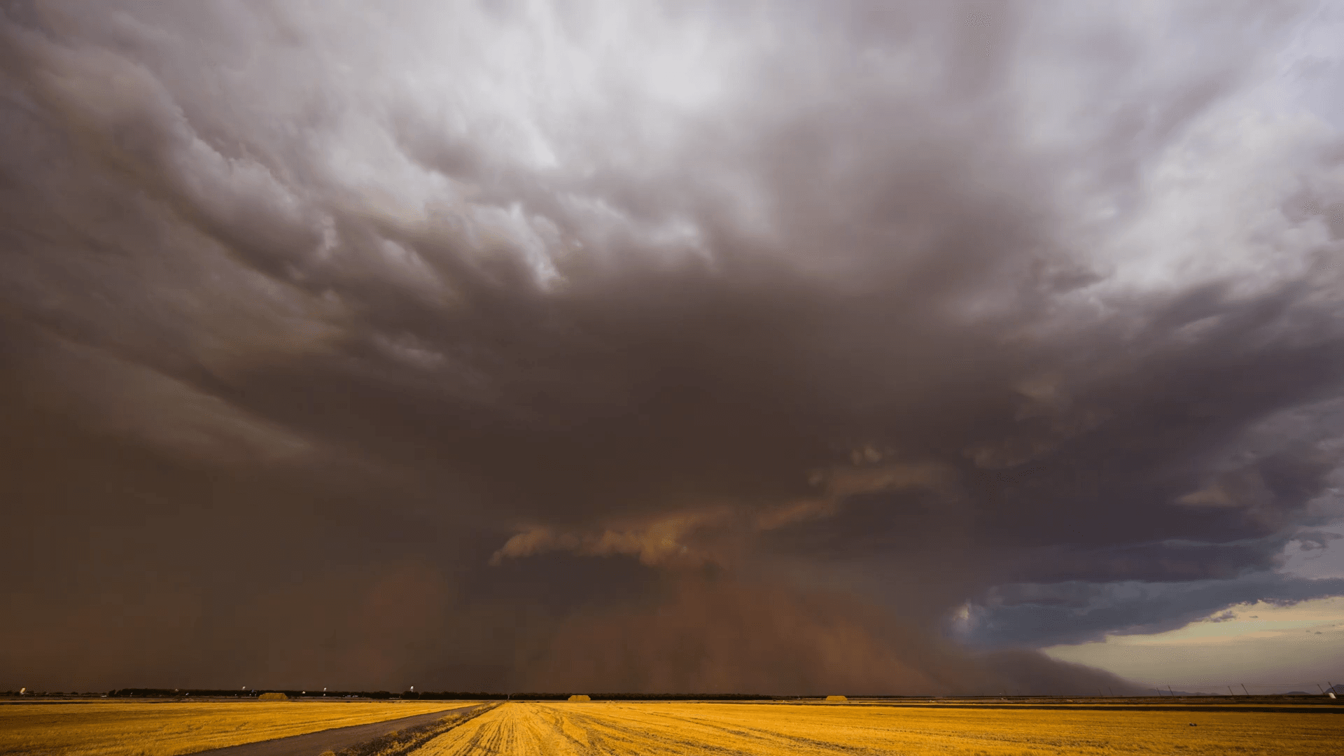
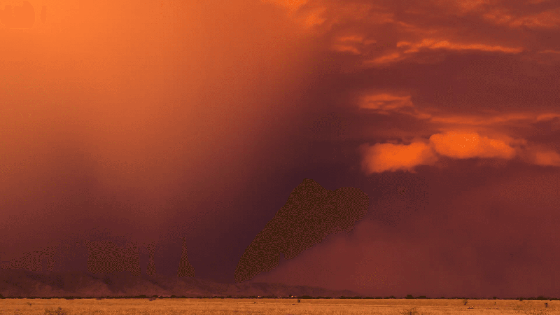
    “Inferno”

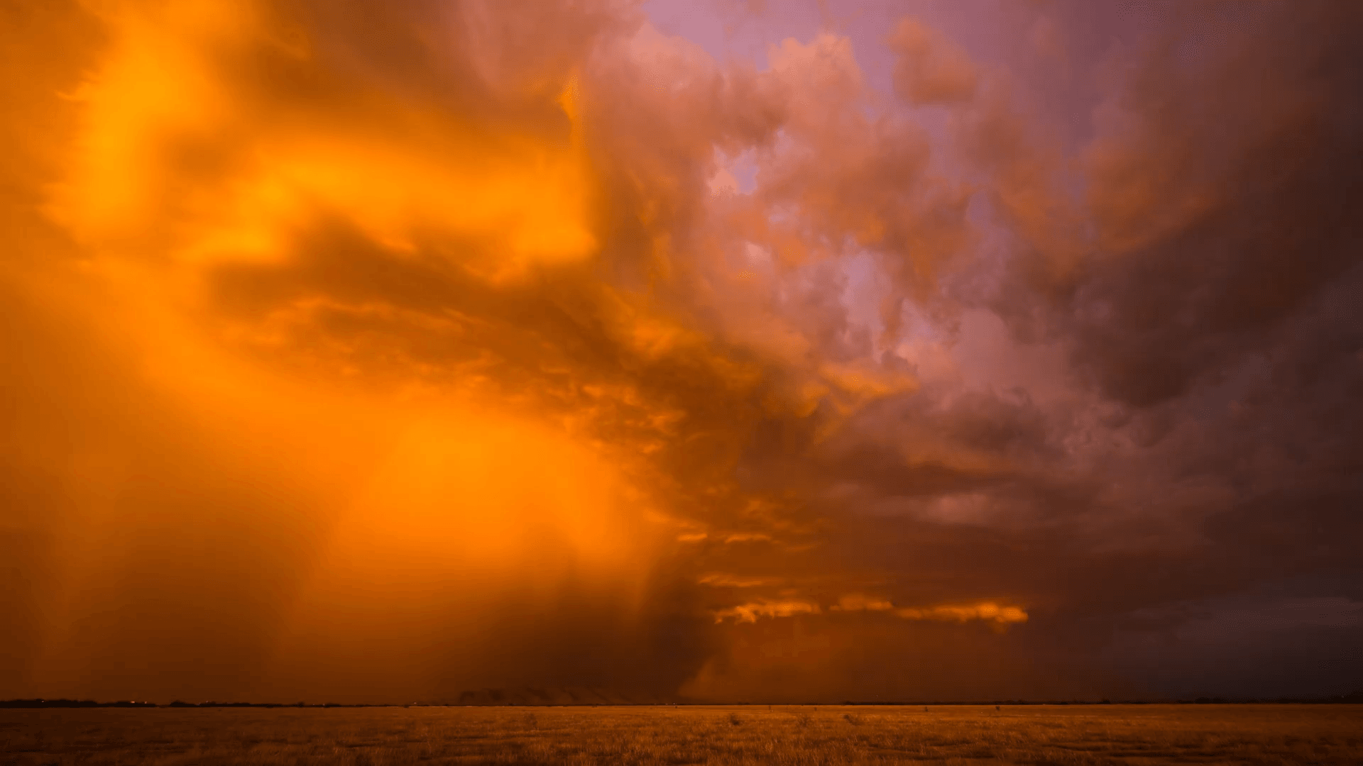
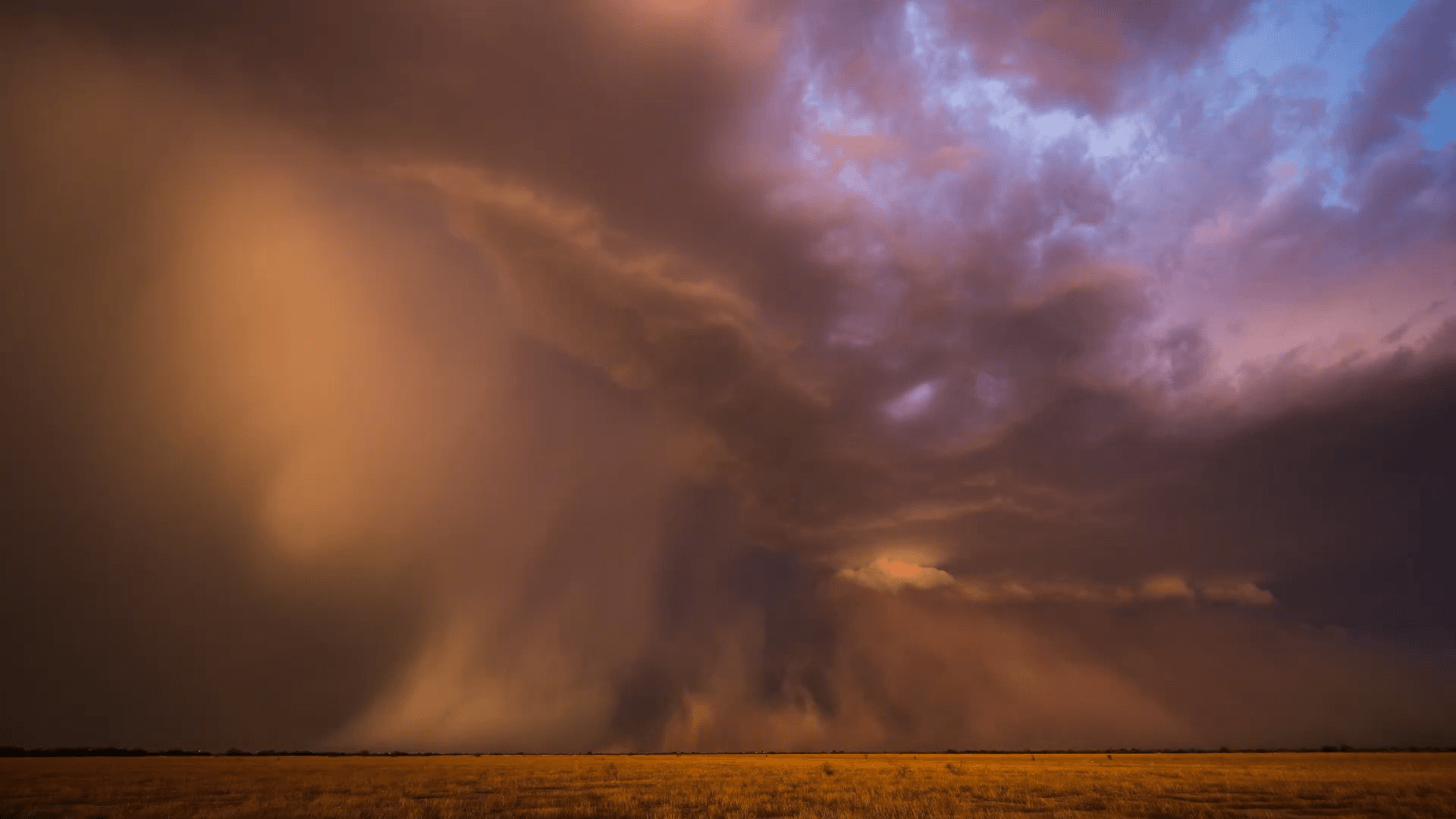
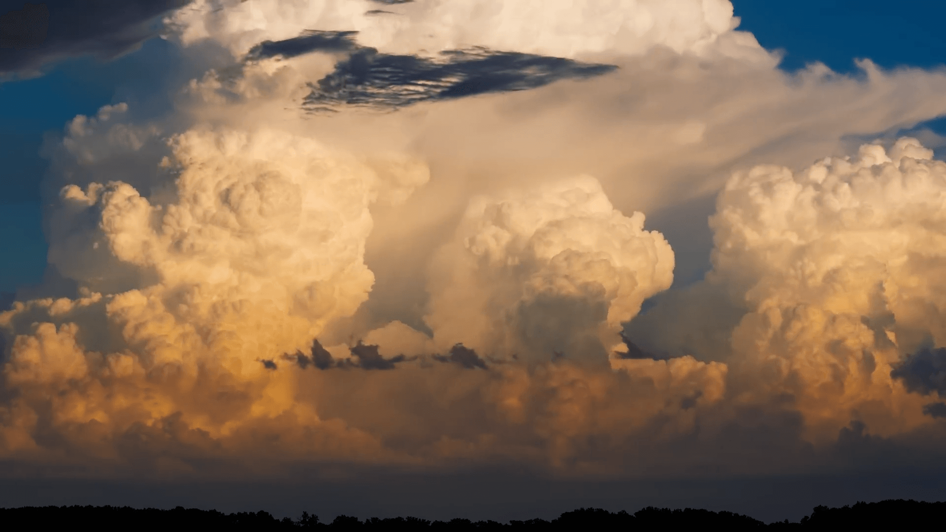
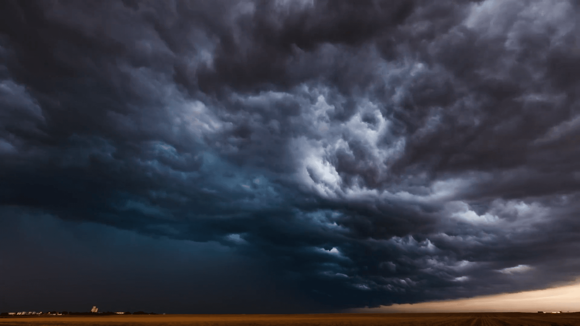
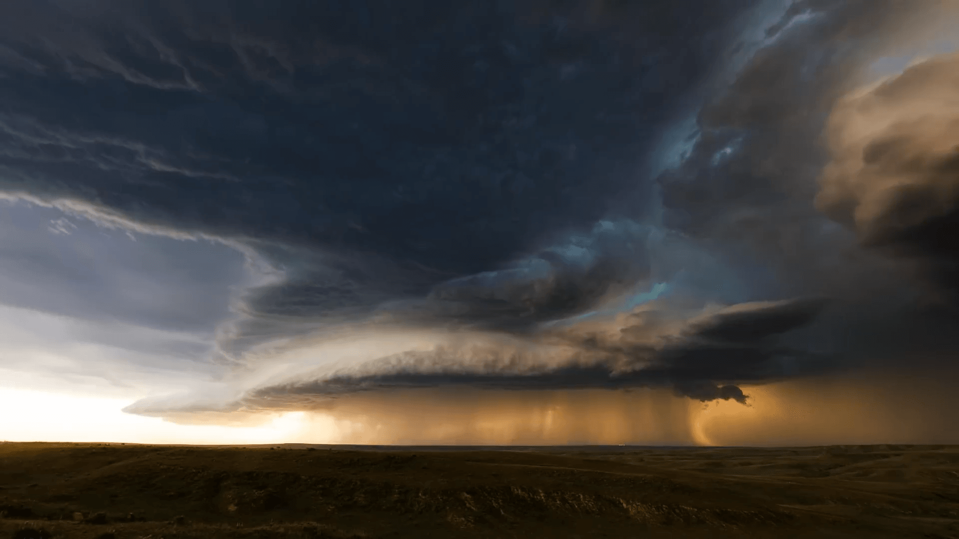
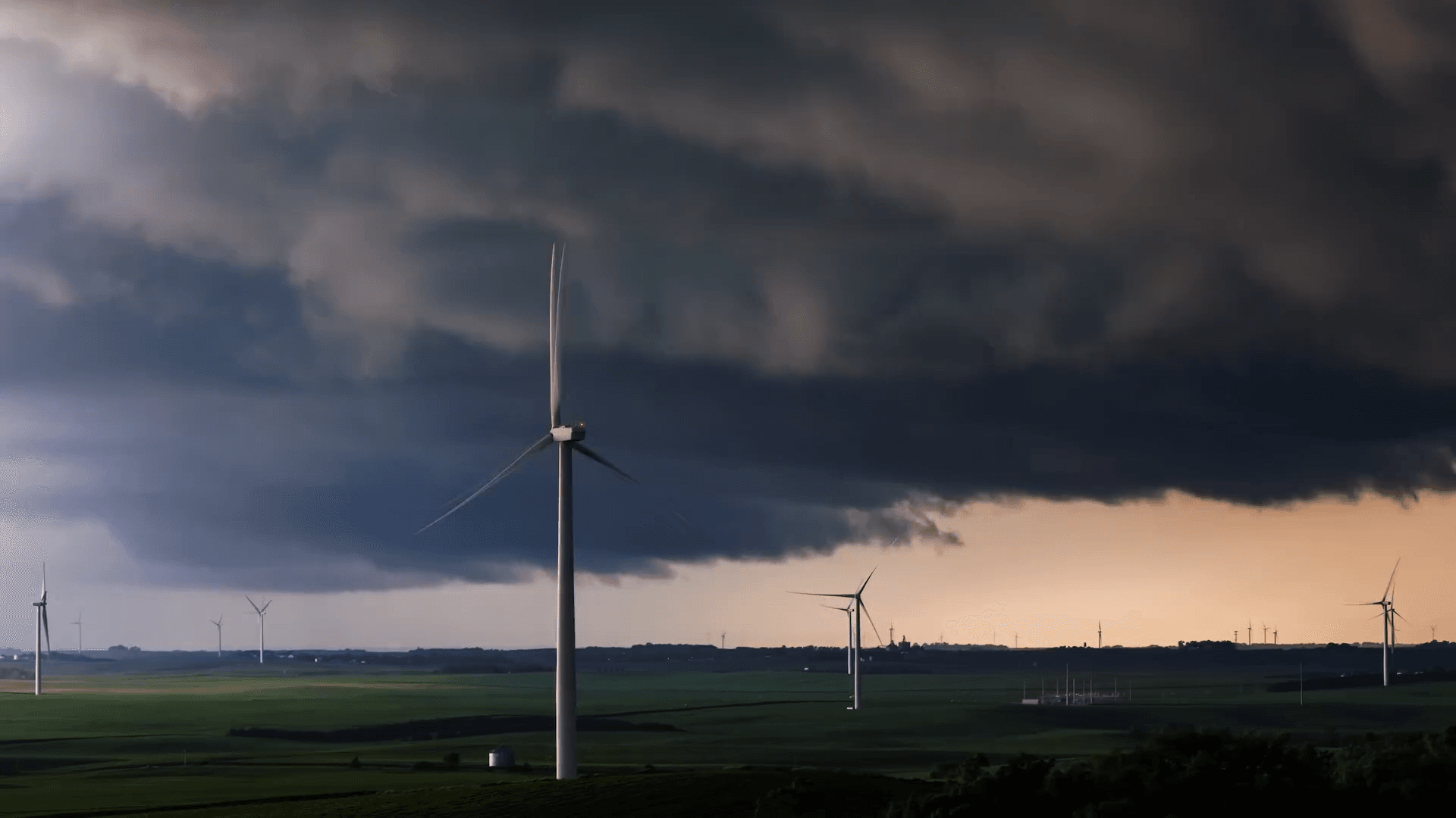
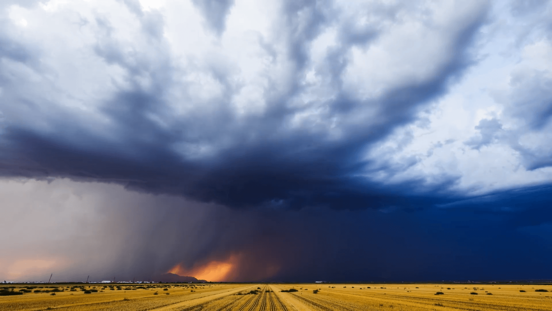
    Nothing showcases the incredible power of our atmosphere like storms, and no one does stormchase photography like Mike Olbinski. In this vignette, he shows a stunning line of supercells caught near sunset on July 17, 2022. The high shear–combined with the setting sun–put on an incredible show. Dust blown up in a haboob, microbursts and downpours in the distance, and lots of churning, roiling turbulence. (Video and image credit: M. Olbinski)

    Fediverse Reactions
  • Sprites and ELVES

    Sprites and ELVES

    Although we are most familiar with the white, branching lightning caused by electrical discharge between clouds and the ground, there are many types of lightning. This fortuitous image captures two: tentacled red sprites and ring-like ELVES. Sprites extend upward from the top of a thunderstorm, in a large but weak flash that lasts only seconds. ELVES appear as a rapidly-expanding disc, thought to be caused by an energetic electromagnetic pulse moving into the ionosphere. They were first discovered in footage from a 1992 Space Shuttle mission. (Image credit: V. Binotto; via APOD)

    Fediverse Reactions
  • Featured Video Play Icon

    “Vorticity 6”

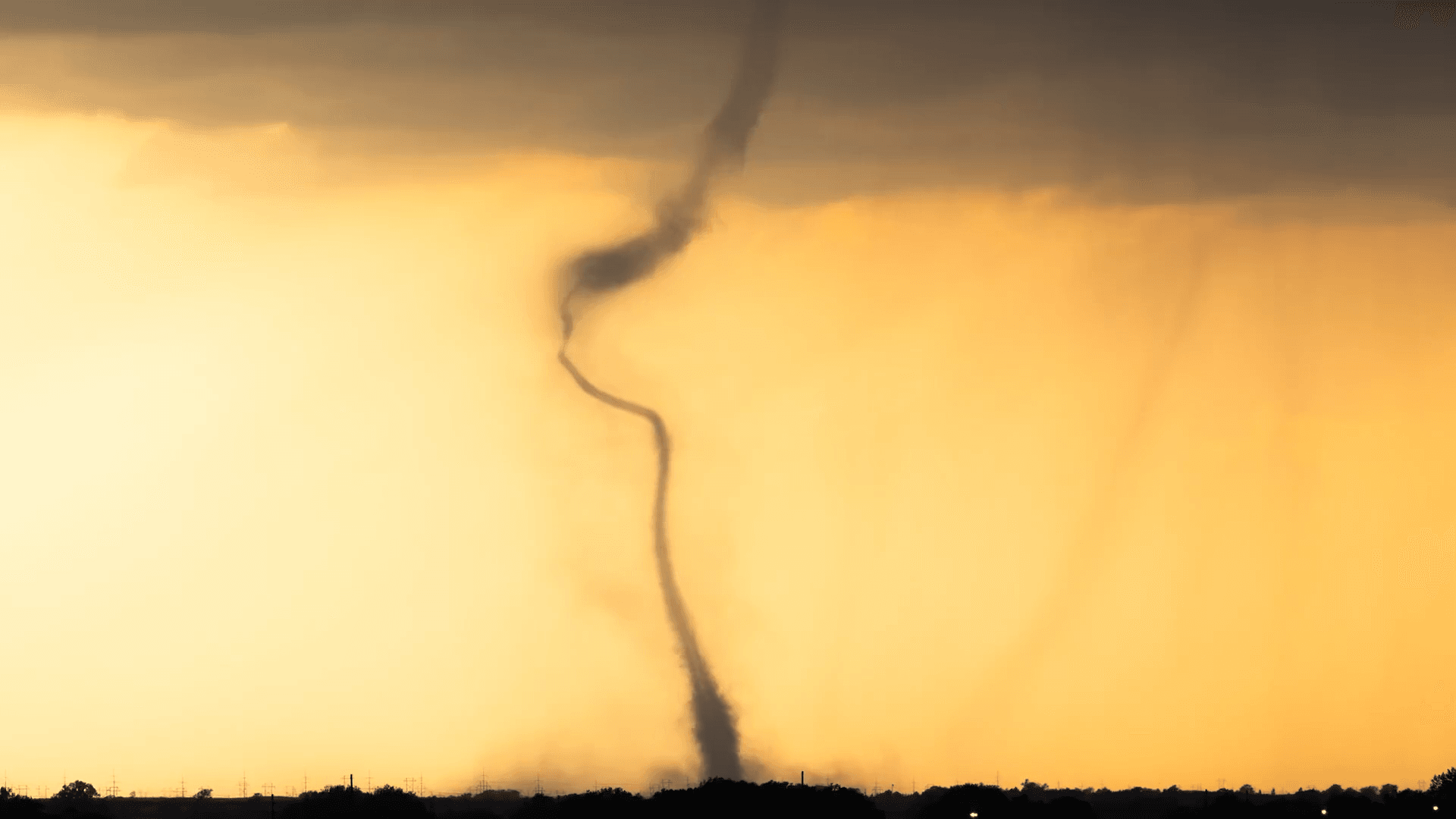
    It’s time for another storm-chasing timelapse from photographer Mike Olbinski! “Vorticity 6” focuses on supercell thunderstorms and their tornadoes. There’s billowing turbulent convection, undulating asperitas, bulging mammatus, microbursts, and more. There’s nothing like timelapse to highlight the growth, rotation, and shear involved in these storms. (Video and image credit: M. Olbinski)

    Fediverse Reactions
  • Featured Video Play Icon

    “Monsoon 7”

    Storm-chasing photographer Mike Olbinski (previously) returns with another stunning timelapse of summer thunderstorms in the western U.S. I never tire of watching the turbulent convection, microbursts, billowing haboobs, and undulating clouds Olbinski captures. His work is always a reminder of the incredible power and energy contained in our atmosphere and unleashed in cycles of warming and cooling, evaporation and condensation. (Video and image credit: M. Olbinski)

  • Inside Hail Formation

    Inside Hail Formation

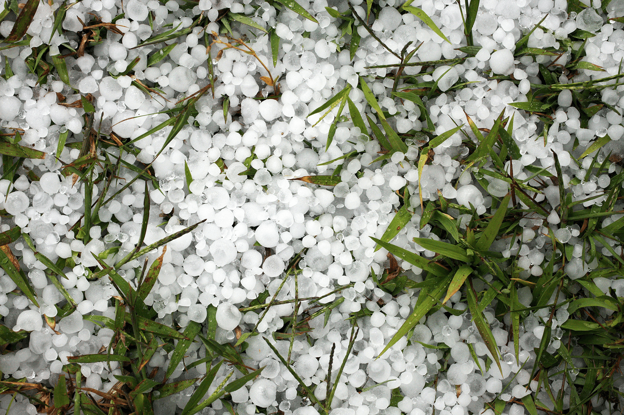
    Conventional wisdom suggests that hailstones form over the course of repeated trips up and down through a storm, but a new study suggests that formation method is less common than assumed. Researchers studied the isotope signatures in the layers of 27 hailstones to work out each stone’s formation history. They found that most hailstones (N = 16) grew without any reversal in direction. Another 7 only saw a single period when upwinds lifted them, and only 1 of the hailstones had cycled down-and-up more than once. They did find, however, that hailstones larger than 25mm (1 inch) in diameter had at least one period of growth during lifting.

    So smaller hailstones likely don’t cycle up and down in a storm, but the largest (and most destructive) hailstones will climb at least once before their final descent. (Image credit: D. Trinks; research credit: X. Lin et al.; via Gizmodo)

    Fediverse Reactions
  • Peering Inside a Hailstone

    Peering Inside a Hailstone

    In spring and summer, major thunderstorms can include dangerous and destructive hailstones. In Catalonia, a group of scientists collected hailstones after a record-breaking 2022 storm, finding some as large as 12 centimeters across. Using a dentist’s CT scanner, they looked at the interior of the hailstones, uncovering layers that reveal how the hail grew. In the past, researchers have studied hail by slicing the ice; that method gives them only a single cross-section through the hailstone, which gets destroyed in the process. In contrast, a CT scan revealed the full interior of the ice.

    The scientists found that, even though hail often appears spherical, the nucleus of the hail is not always located in the center. They saw that the hail grew in uneven layers that varied in density, depending on the storm conditions the hail experienced. To get to the enormous sizes seen here, hailstones have to travel up and down repeatedly through a storm, building up layer by layer. From the hail’s interior structure, the team could also tell what orientation the hail took its final fall in; the ice along the bottom of the hailstone was bubble-free, indicating that it collected as water drops hit the surface and froze. (Image credit: T. Ribas; research credit: C. BarquΓ© et al.; via New Scientist)

    Fediverse Reactions
  • When Fires Make Rain

    When Fires Make Rain

    The intense heat from wildfires fuels updrafts, lifting smoke and vapor into the atmosphere. As the plume rises, water vapor cools and condenses around particles (including ash particles) to form cloud droplets. Eventually, that creates the billowing clouds we see atop the smoke. These pyrocumulus clouds, like this one over California’s Line fire in early September 2024, can develop further into full thunderstorms, known in this case as pyrocumulonimbus. The storm from this cloud included rain, strong winds, lightning, and hail. Unfortunately, storms like these can generate thousands of lightning strikes, feeding into the wildfire rather than countering it. (Image credit: L. Dauphin; via NASA Earth Observatory)

  • More Gigantic Jets

    More Gigantic Jets

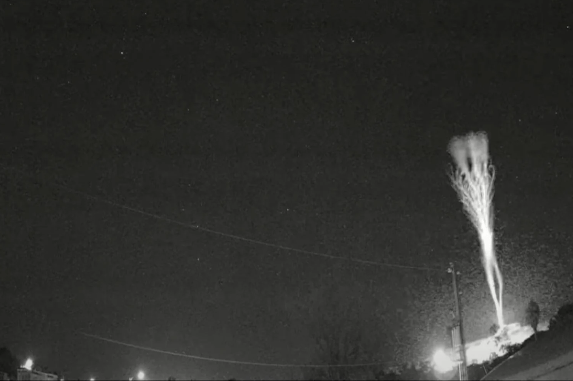
    It’s wild that we’re still discovering new weather phenomena, but the gigantic jets seen here were only identified in 2002. This uncommon type of lightning shoots up from the tops of thunderstorms into the ionosphere. The video/image above was caught by cameras normally used to monitor meteors. The jets themselves are red in color, a result of the electrical discharge interacting with nitrogen in the atmosphere. (Video and image credits: b/w – Caribbean Astronomy Society, color – F. Lucena; via Gizmodo)

  • Gigantic Jets

    Gigantic Jets

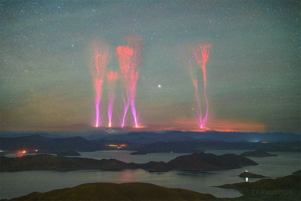
    Stormy skies feature much more than the forked cloud-to-ground lightning we’re used to seeing. This composite image shows a rare and recently-recognized type of lightning known as a gigantic jets. This type of lightning travels from the top of thunderclouds, around 16 km in altitude, up to the ionosphere at about 90 km. Their bottoms look a bit like blue jets, while their upper reaches look like red sprites, two other types of unusual lightning. The mechanism behind gigantic jets is a topic of ongoing research, but your best chance at seeing them is watching a distant thunderstorm from a clear vantage. (Image credit: Li X.; via APOD)