Tag: geophysics

  • Ice Giant or Magma Ocean World?

    Ice Giant or Magma Ocean World?

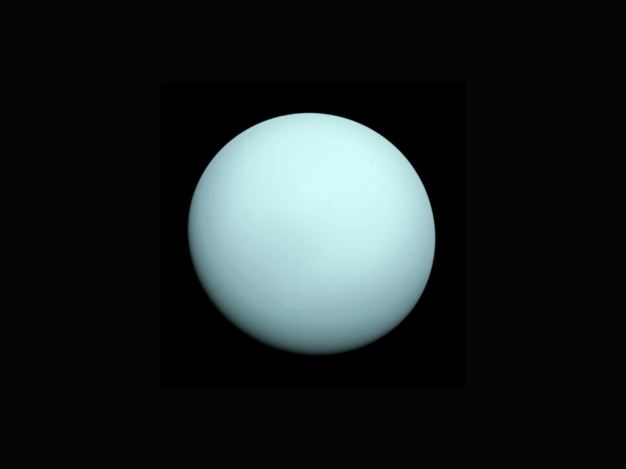
    Uranus and Neptune–known as our system’s ice giants–are our least explored planets. Both have received exactly one flyby, from the Voyager 2 spacecraft. The data from those flybys remain our primary source of knowledge about each planet. The traditional model for each planet’s interior (dating back to before the flybys) consists of three layers: a rocky core; an icy mantle made up of water, ammonia, and methane; and a hydrogen/helium-rich atmosphere. That structure is one way to match the limited measurements we have from these planets, but, as today’s preprint study points out, it’s not the only way.

    The authors suggest an alternative structure, in which a hydrogen-rich atmosphere overlays a supercritical magma ocean capable of dissolving hydrogen into heavier, metallic elements. Their suggestion is motivated by several factors. First, objects in the outer solar system–including Kuiper Belt objects–have less icy material than originally assumed, which suggests that Uranus and Neptune’s progenitors wouldn’t have been so ice-rich, either. Second, our understanding of how “rocky” materials respond at the temperatures and pressures found in these planet interiors has evolved. In particular, silicate, hydrogen, and iron are actually miscible at these conditions. That means that discrete sub-layers separated by material type are not as likely.

    Using the magma ocean model, the team found compositions for both Uranus and Neptune that conformed well to our limited data about their gravitational and magnetic field properties. Time–and more data–will tell as to which interior model best describes these enigmatic giants. (Image credit: NASA; research credit: E. Young et al. (preprint); via Gizmodo)


    Fediverse Reactions
  • Canyon Swirls

    Canyon Swirls

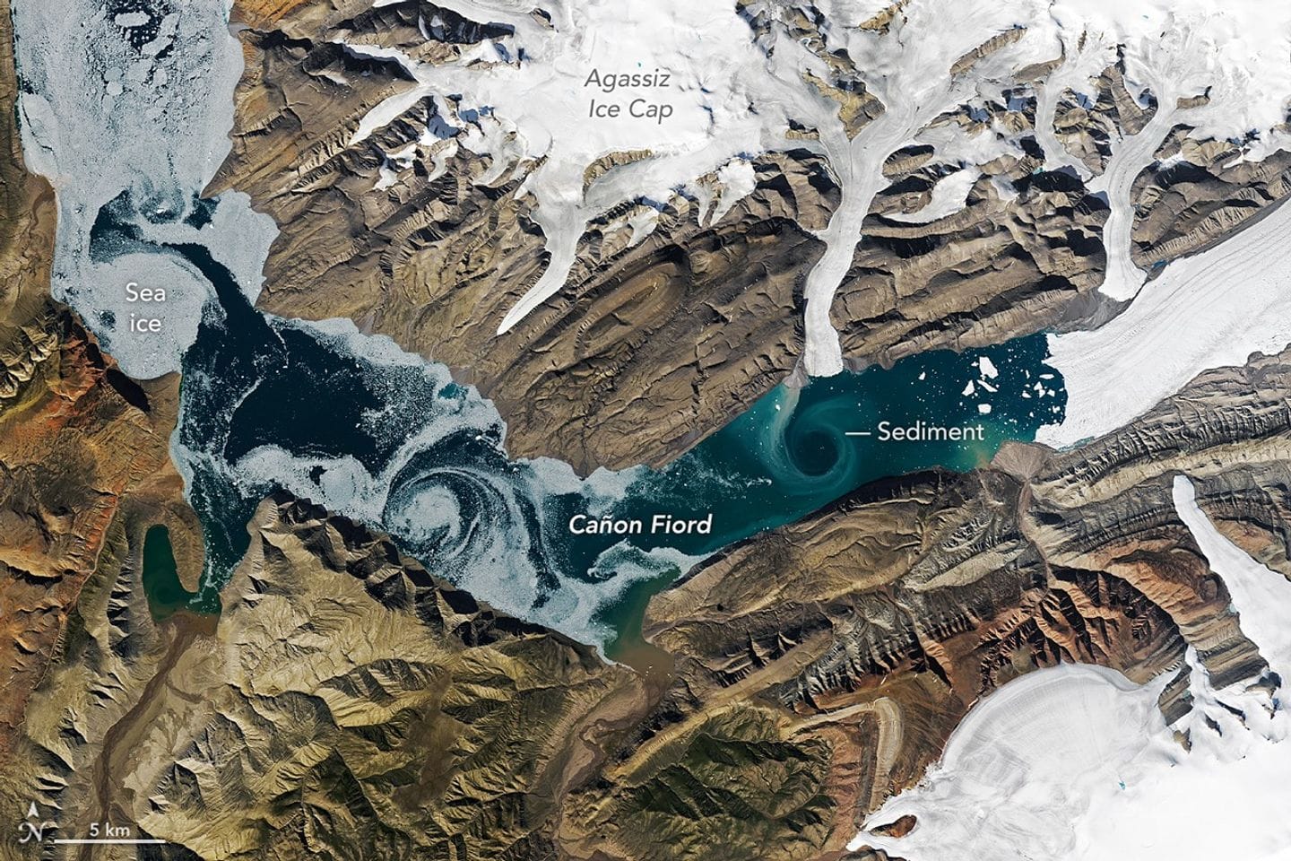
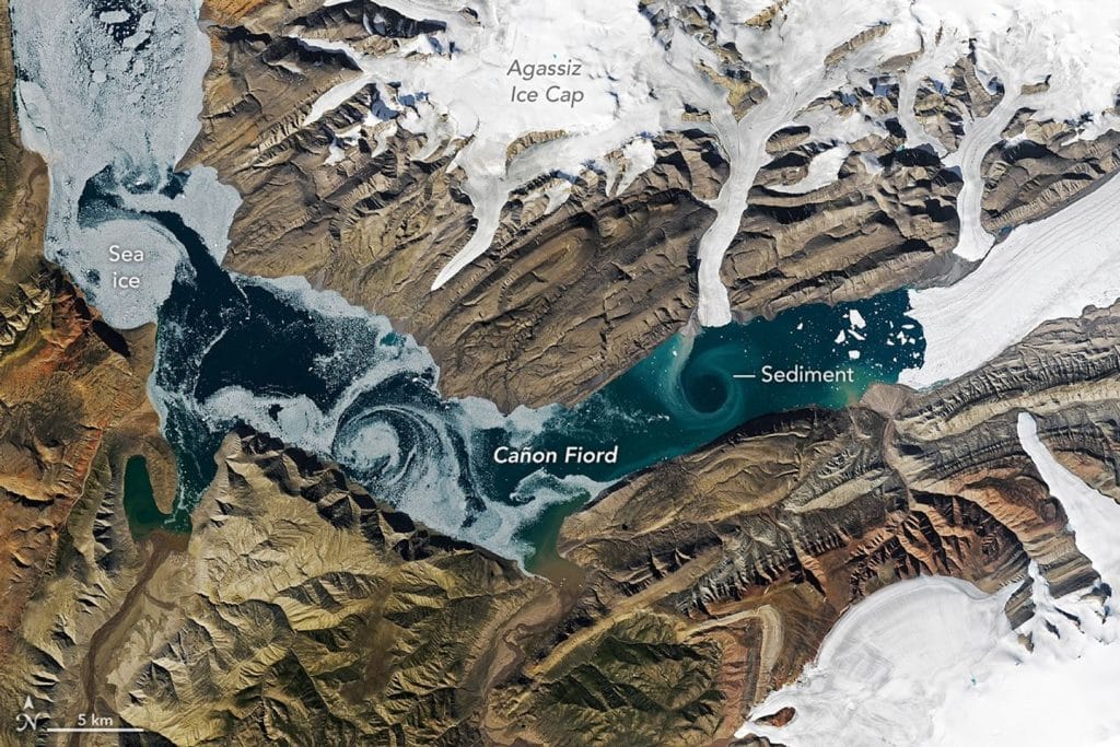
    For much of the year, Cañon Fiord in the Canadian Arctic lies under ice and snow, but in the summer melt season, colors peek out. Here sea ice and sediment swirl in the fjord in eddies that are kilometers wide. The sediment is largely glacial flour–rock that’s been ground into dust by glaciers. It provides critical nutrients for the marine ecosystem. (Image credit: L. Dauphin; via NASA Earth Observatory)

    Satellite image of sea ice and sediment swirling in Cañon Fiord.
  • Múlajökull

    Múlajökull

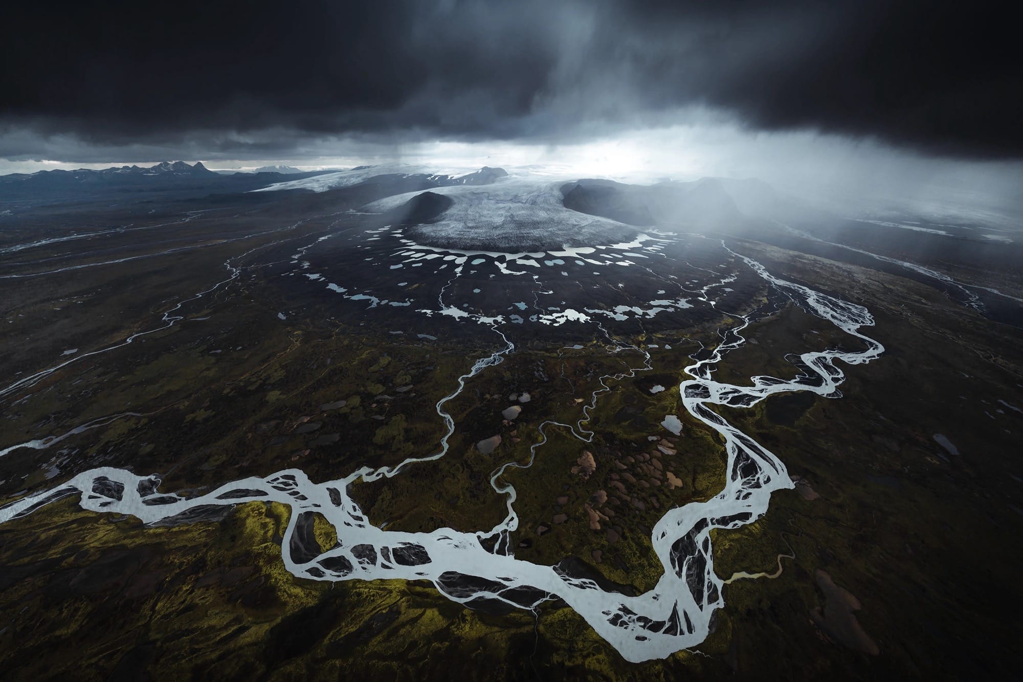
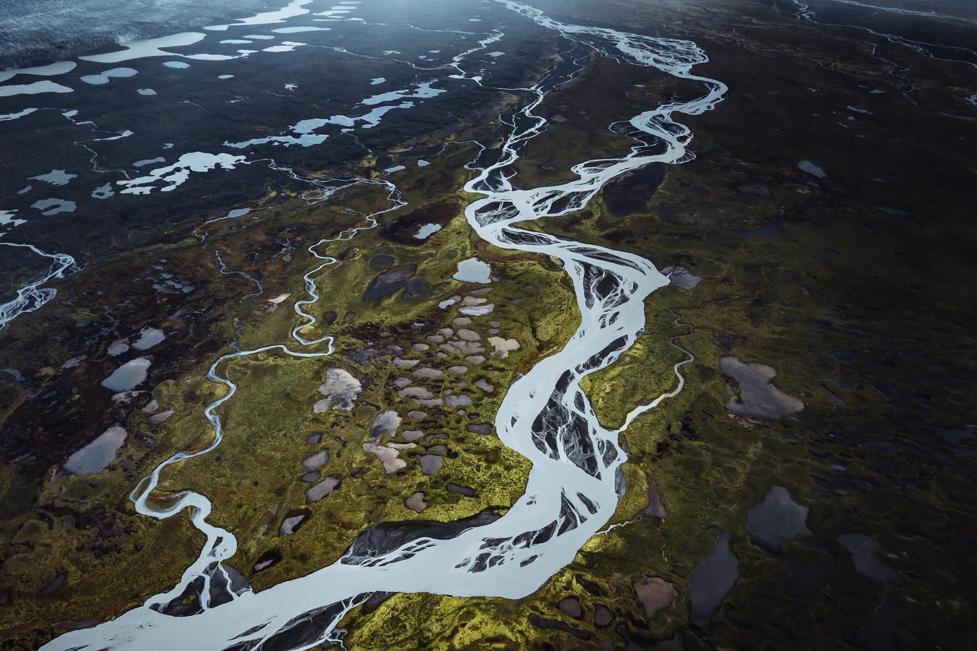
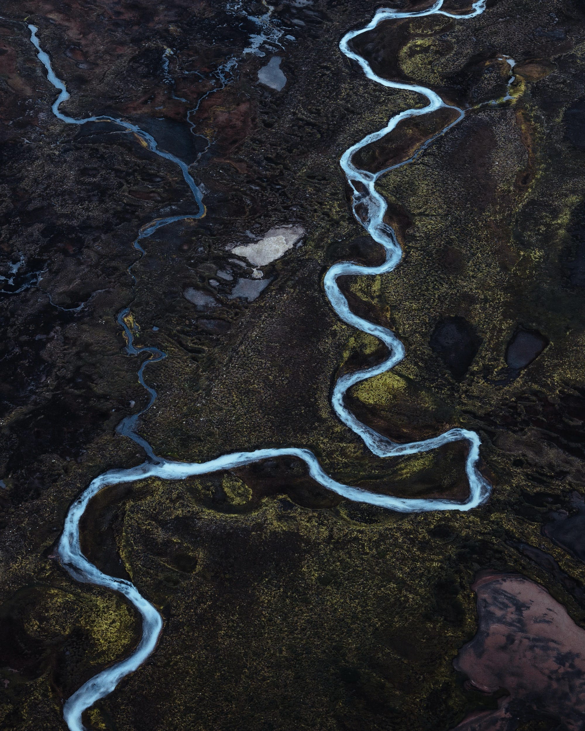
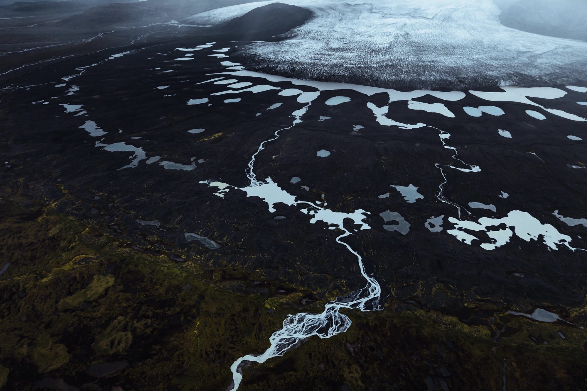
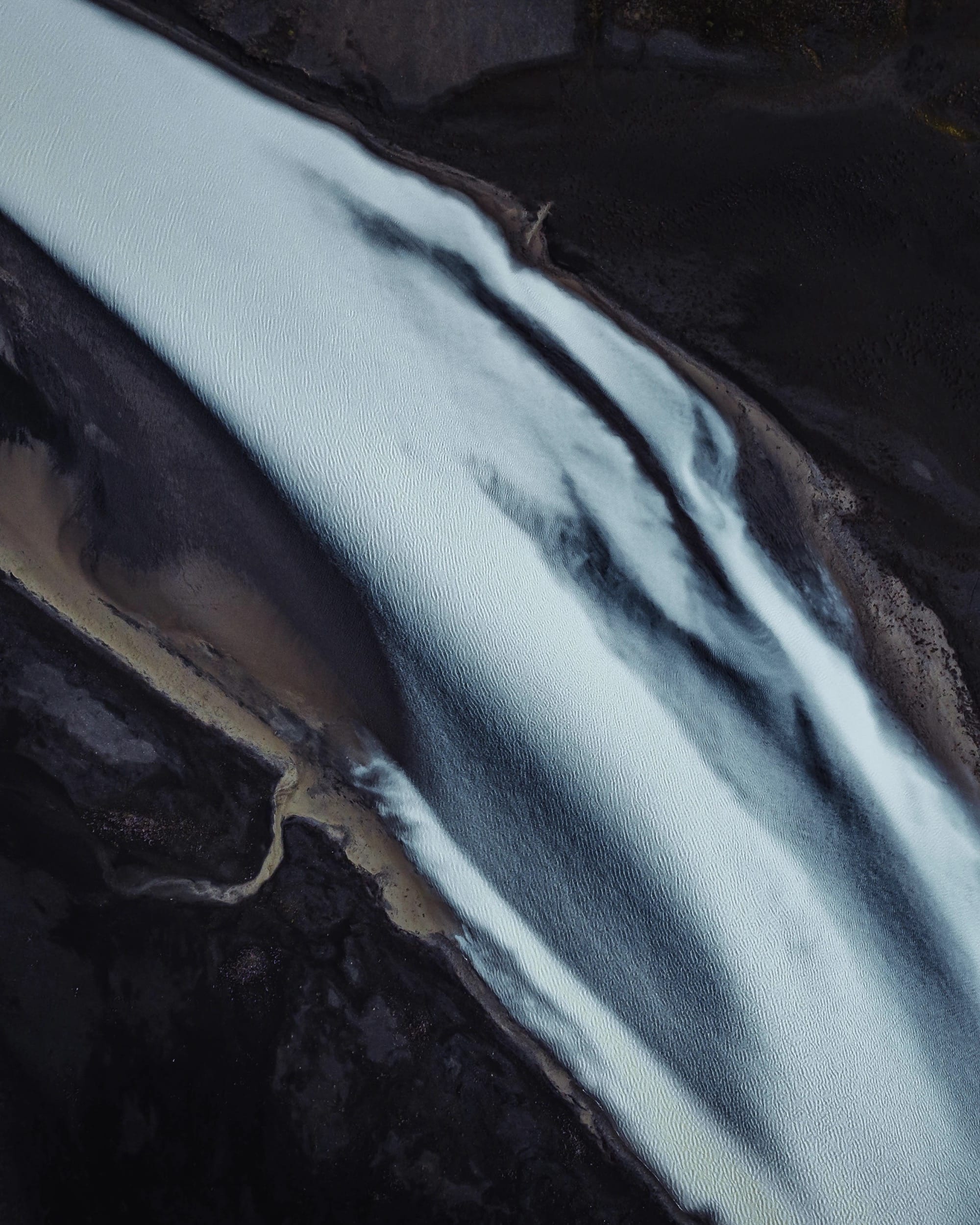
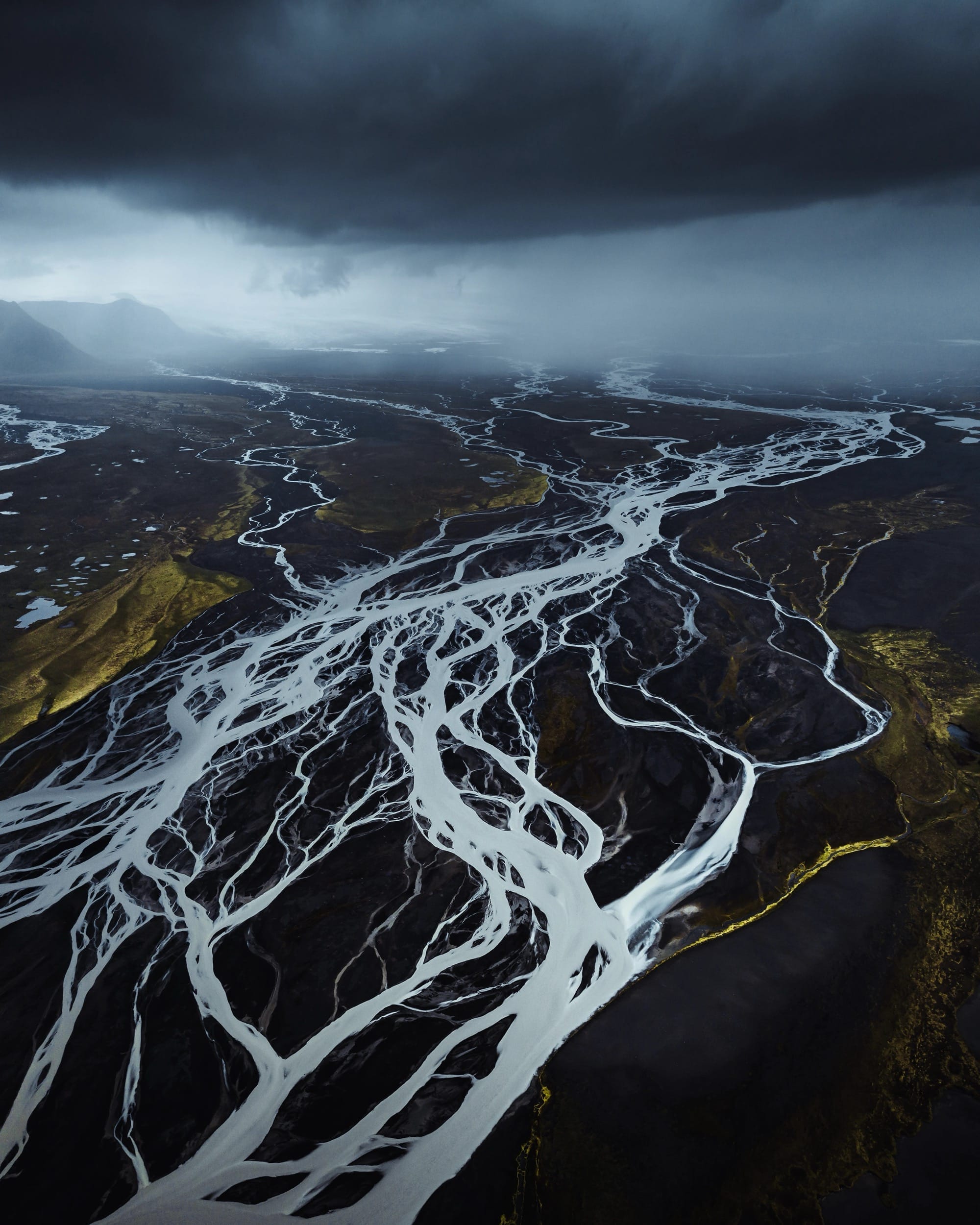
    Iceland’s Múlajökull glacier is prone to sudden surges, where rapid ice flow is interspersed between periods of quiescence or retreat. The isolated nature of the glacier and its marshy surroundings make approaching on foot almost impossible, but photographer Dani Guindo captured gorgeous aerial images of the glacier’s many rivulets ribboning about the landscape it’s carved. (Image credit: D. Guindo; via Colossal)

    Fediverse Reactions
  • Convection Inside the Mantle

    Convection Inside the Mantle

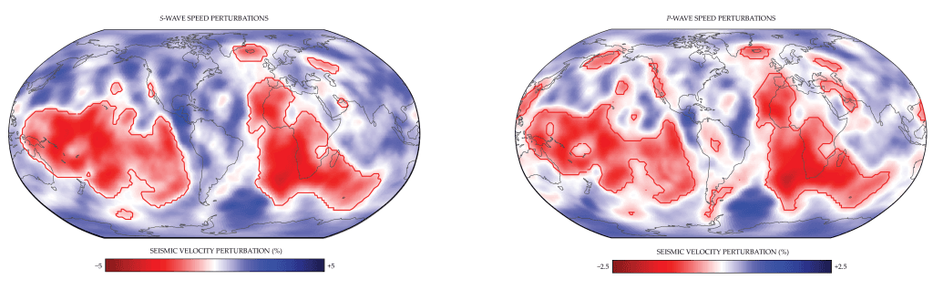
    Most of what we know about Earth’s interior comes from observing how seismic waves–mostly from earthquakes–bounce around. As our observations have gotten better–more seisometers, better imaging techniques–scientists have identified two large anomalies sitting near the bottom of the mantle. Known as large low-velocity provinces, or LLVPs, these zones take up continent-sized areas beneath parts of Africa and the Pacific.

    Seismic waves show lower speeds in large, continent-sized zones that sit beneath Africa and the Pacific. These large low-velocity provinces (LLVPs) are outlined in red.
    Seismic waves show lower speeds in large, continent-sized zones that sit beneath Africa and the Pacific. These large low-velocity provinces (LLVPs) are outlined in red.

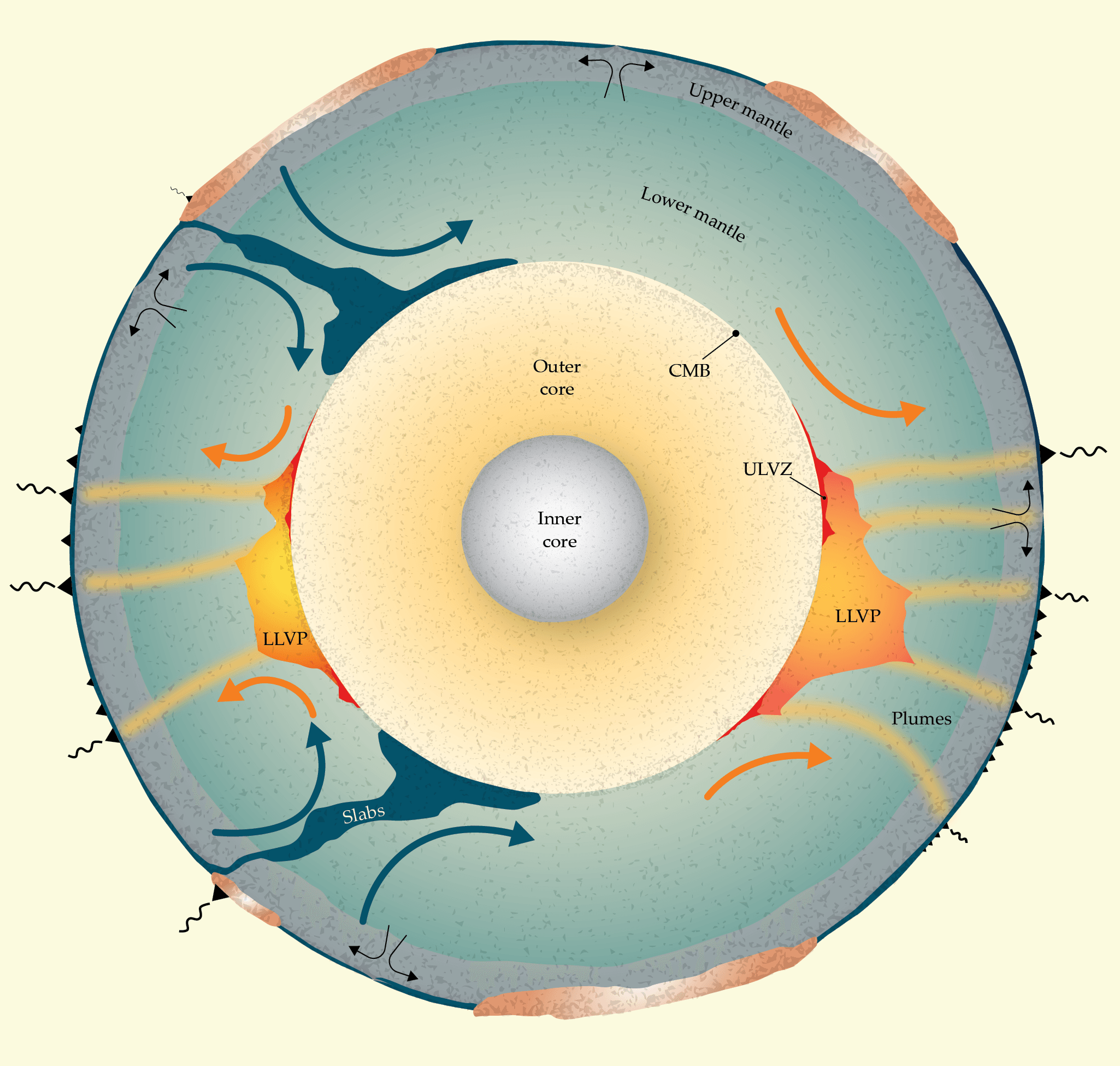
    The LLVPs are hot, which would normally make them buoyant, but their stationary nature suggests they are made up of extremely dense material. Narrow plumes of hot material make their way up from the LLVPs to form volcanic hotspots like those that made the Hawaiian and Galapagos Islands. Balancing that upward convection is the downward convection of former tectonic material carried into the mantle at subduction zones.

    What the LLVPs are made of remains an active research question. One suggestion is that they contain remnants of Theia, the planet thought to have impacted the proto-Earth to form our Moon. (Image credits: E. Garnero and C. Richardson; see also Physics Today)

    Illustration showing convection in the Earth's inner mantle. Former tectonic material subducts downward in dark blue zones. The large low-velocity provinces (LLVPs) are shown in orange. Hot-spot volcanic activity is seen at the surface (black triangles) above narrow plumes that lift material from the LLVPs toward the surface.
    Illustration showing convection in the Earth’s inner mantle. Former tectonic material subducts downward in dark blue zones. The large low-velocity provinces (LLVPs) are shown in orange. Hot-spot volcanic activity is seen at the surface (black triangles) above narrow plumes that lift material from the LLVPs toward the surface.
    Fediverse Reactions
  • Mirabilite Mounds at Great Salt Lake

    Mirabilite Mounds at Great Salt Lake

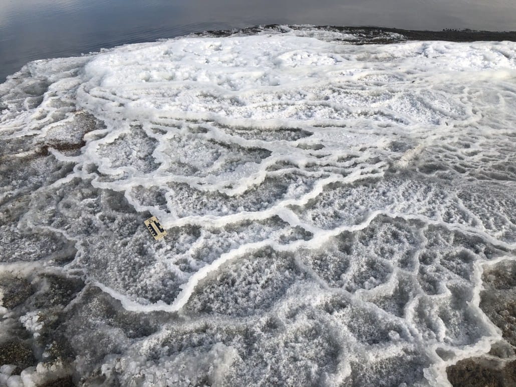
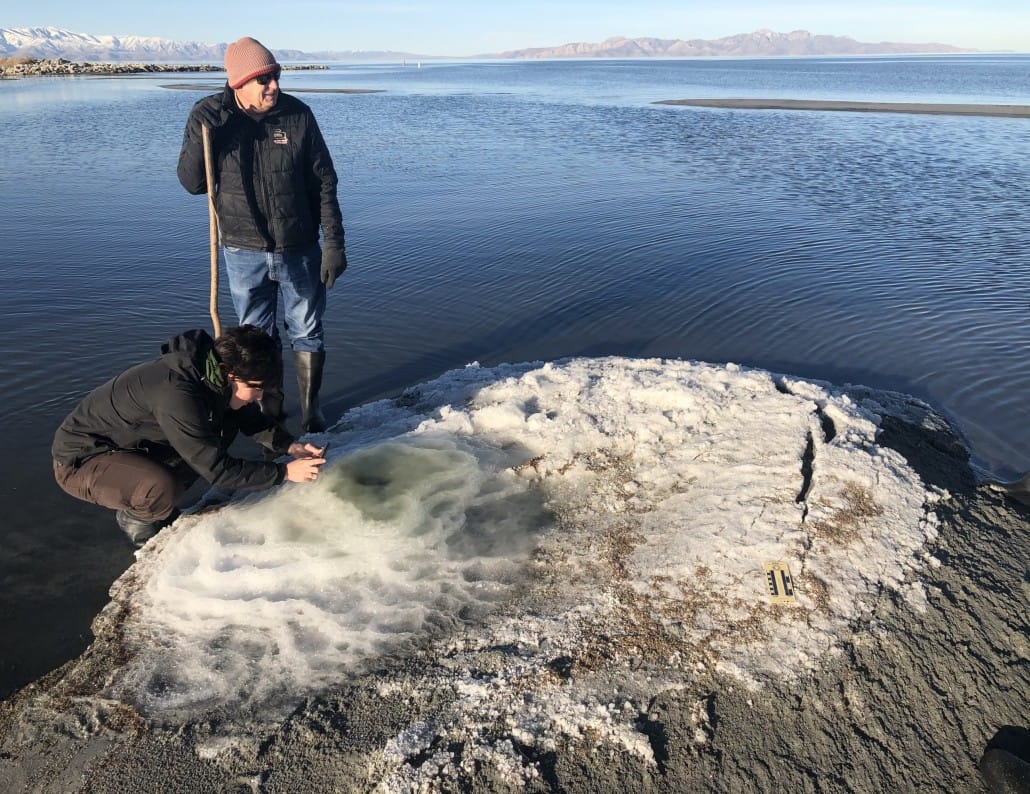
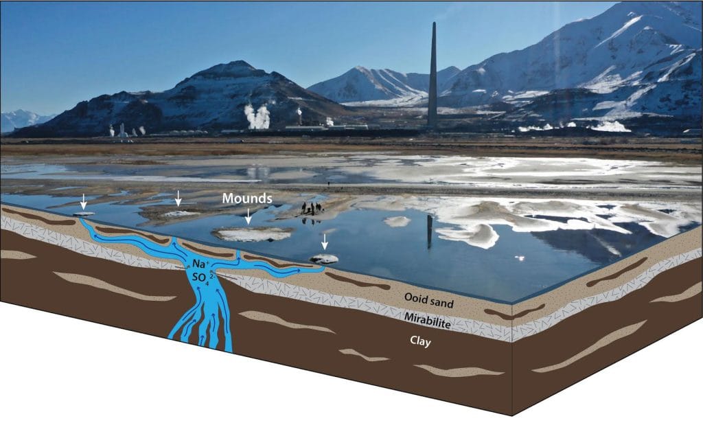
    In cold weather, a new geological feature has shown up at Utah’s Great Salt Lake in the last decade. These salty mirabilite mounds form terraced crystals that resemble Yellowstone’s Mammoth Hot Springs.

    Diagram showing salty springs feeding upward through layers of mirabilite to form a mound aboveground.
    Diagram showing how a salt-laden spring pushing upward through the mirabilite layer can then form mounds at the surface when the dissolved mirabilite recrystallizes after the water evaporates.

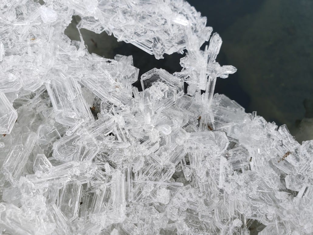
    Mirabilite is hydrated sodium sulfate (as opposed to the sodium chloride of table salt). The structures form when upwelling spring water partially dissolves the layer of mirabilite found beneath the lake bed. That sulfate-laden water rises to the surface, where it freezes into the crystals seen here.

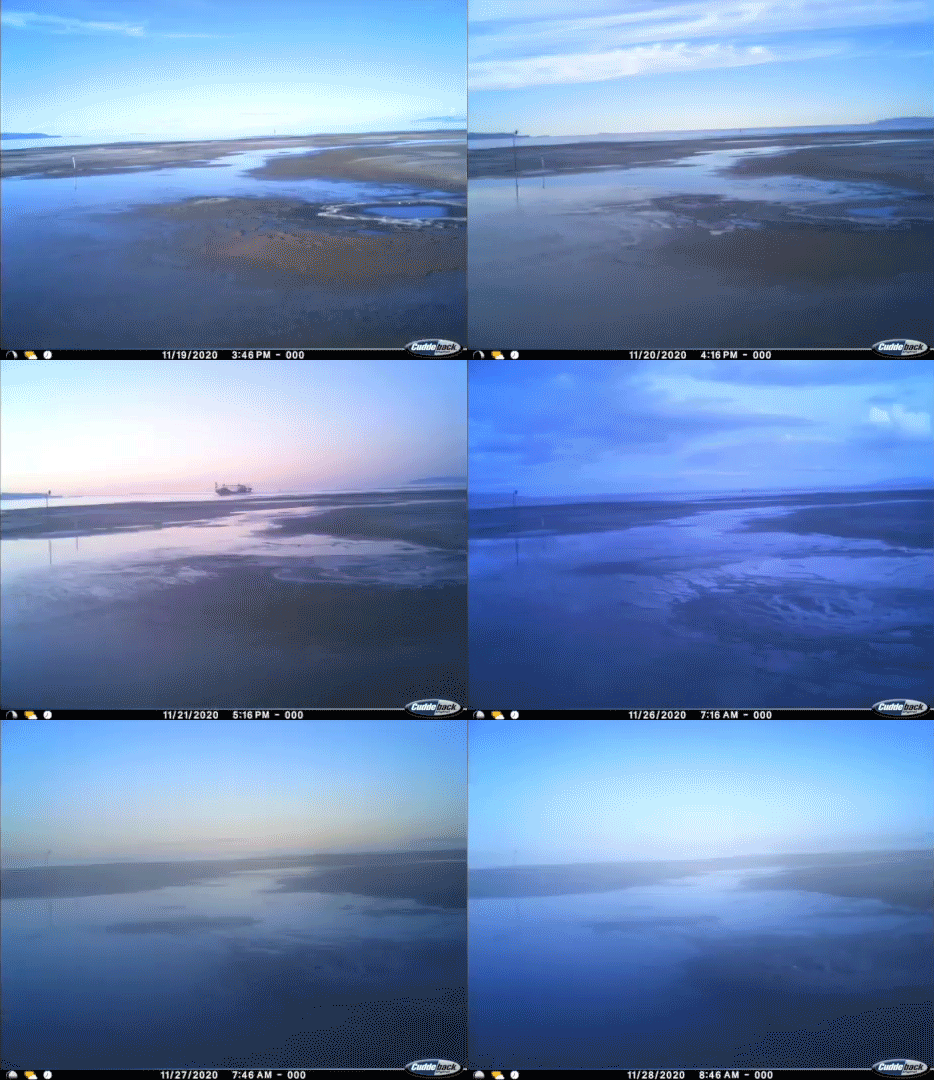
    A timelapse showing mirabilite mounds forming.
    A timelapse showing the formation of mirabilite mounds.

    When temperatures rise above freezing, the water in the mirabilite evaporates, leaving behind white, powdery thenardite. (Video credit: Great Salt Lake Institute; image credit: Utah Geological Survey)

    Fediverse Reactions
  • The Disappearing Great Salt Lake

    The Disappearing Great Salt Lake

    Since 1989, Utah’s Great Salt Lake has lost some 70% of its surface area. The exposed lakebed left behind is a source of toxic dust that gets lifted into the air. Researchers are trying to understand what water sources exist beneath the lake and whether they might save the saline lake and its ecosystem from disappearing entirely.

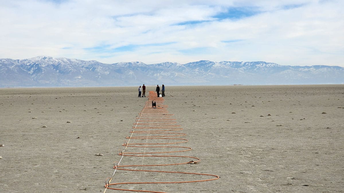
    A recent study pinpoints underground water by measuring the electrical resistance between electrodes placed meters apart in the ground (photo above). Because salty water is more electrically conductive than fresh water, the researchers can distinguish between them. So far, they’ve found quite a lot of fresh water, sometimes only a couple meters below the surface. But those patches are often quite close to saline water, too.

    The group also described to Eos that they found mounds of invasive reeds lying atop concentrations of fresh water. The invasive species seems to be sucking up water that would otherwise feed back into the lake or support native plants that provide habitat to native birds. (Image credit: M. Thorne; research credit: M. Jacketta et al.; via Eos)

    Fediverse Reactions
  • Retreating Glaciers Risk Tsunamis

    Retreating Glaciers Risk Tsunamis

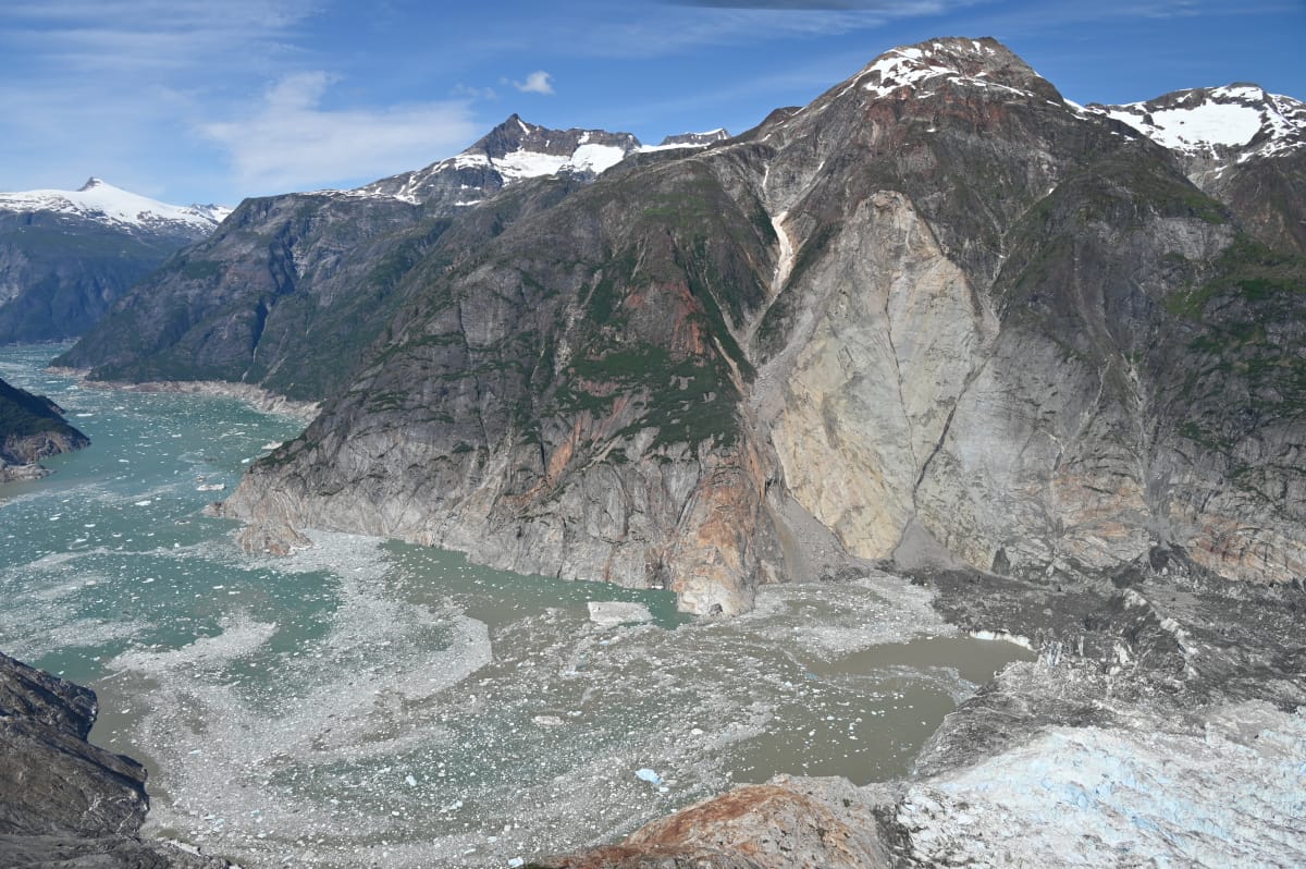
    On 10 August 2025, the slopes of Alaska’s Tracy Arm Fjord gave way, sliding into the water. The resulting tsunami was the second-largest ever recorded, with a 481-meter runup after a 100-meter initial wave that moved at more than 70 meters per second. The fjord was fortunately empty at the time, though it is regularly visited by cruise ships. After the landslide, a seiche ricocheted through the fjord for 36 hours.

    With no earthquake to trigger the tsunami, researchers had to piece together the accident through forensics. Their study concluded that the glacier’s retreat had left unstable slopes exposed, likening it to a child’s closet overstuffed with hastily gathered toys. The moment the door is no longer held closed, everything comes crashing out.

    Ultimately, the landslide-induced tsunami is, therefore, a result of climate change. That result is disconcerting, given the increasing frequency of cruise ships visiting glacial fjords. Unlike earthquake-induced tsunamis, landslide-induced ones like the Tracy Arm event don’t come with a seismic warning. With rapid climate change and frequent tourism, risk management is critical. (Image credit: C. Read/USGS; research credit: D. Shugar et al.; via Eos)

    An image showing the aftermath of the 10 August, 2025 landslide in Alaska's Tracy Arm Fjord, which caused the second largest tsunami recorded. The light rock slope shows where material fell from. On the lower right, the foot of the South Sawyer Glacier is just visible.
    An image showing the aftermath of the 10 August, 2025 landslide in Alaska’s Tracy Arm Fjord, which caused the second largest tsunami recorded. The light rock slope shows where material fell from. On the lower right, the foot of the South Sawyer Glacier is just visible.
    Fediverse Reactions
  • Regelation Lets Glaciers Flow

    Regelation Lets Glaciers Flow

    Under the cold temperatures and immense pressures of a glacier, ice does not always behave in ways we’d expect. For example, cutting through ice using the pressure of a weighted wire does not break an ice block in two; as the wire passes through the ice, the melted water refreezes in its wake, leaving an intact block. Known as regelation, this process is one way that glaciers flow past obstacles in their path.

    Although many experiments demonstrate regelation for ice with temperatures near freezing, the process occurs in colder ice, too. A new study combines data across a wide range of temperatures with a new physical model of regelation to show how the process changes with temperature. It seems that relatively small temperature changes drastically affect how much meltwater forms around the wire and how slowly the ice refreezes. (Image credit: S. Ferrara; video credit: SciTube; research credit: C. Meyer et al.)

    Fediverse Reactions
  • Predicting Volcanic Eruptions

    Predicting Volcanic Eruptions

    People have long hoped to reliably predict volcanic eruptions. An automated system at Piton de la Fournaise in France has been doing so since 2014 with an impressive 92% accuracy. The tool, called Jerk, makes its predictions based on real-time measurements of subtle ground movements associated with magma fracturing rock on its way to the surface. Its predictions have ranged from minutes to hours before the start of an eruption.

    So far, the team has only tested the system at one volcano, but they are working to install a second version at Mount Etna, where they’ll see whether other volcanoes produce a similar signal ahead of eruption. If so, Jerk could provide valuable warnings in populated areas and give geologists an automated alternative for monitoring remote volcanoes.

    To learn more, check out the team’s open access paper and this interview with the team leaders over at Gizmodo. (Image credit: F. Beauducel; research credit: F. Beauducel et al.; via Gizmodo)
    Fediverse Reactions
  • Herring Spawn

    Herring Spawn

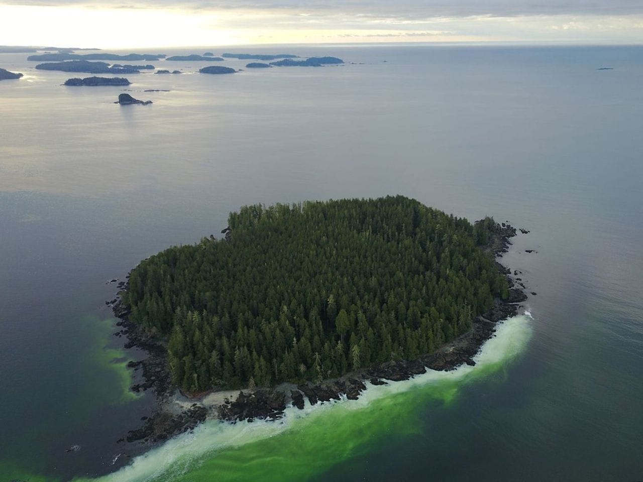
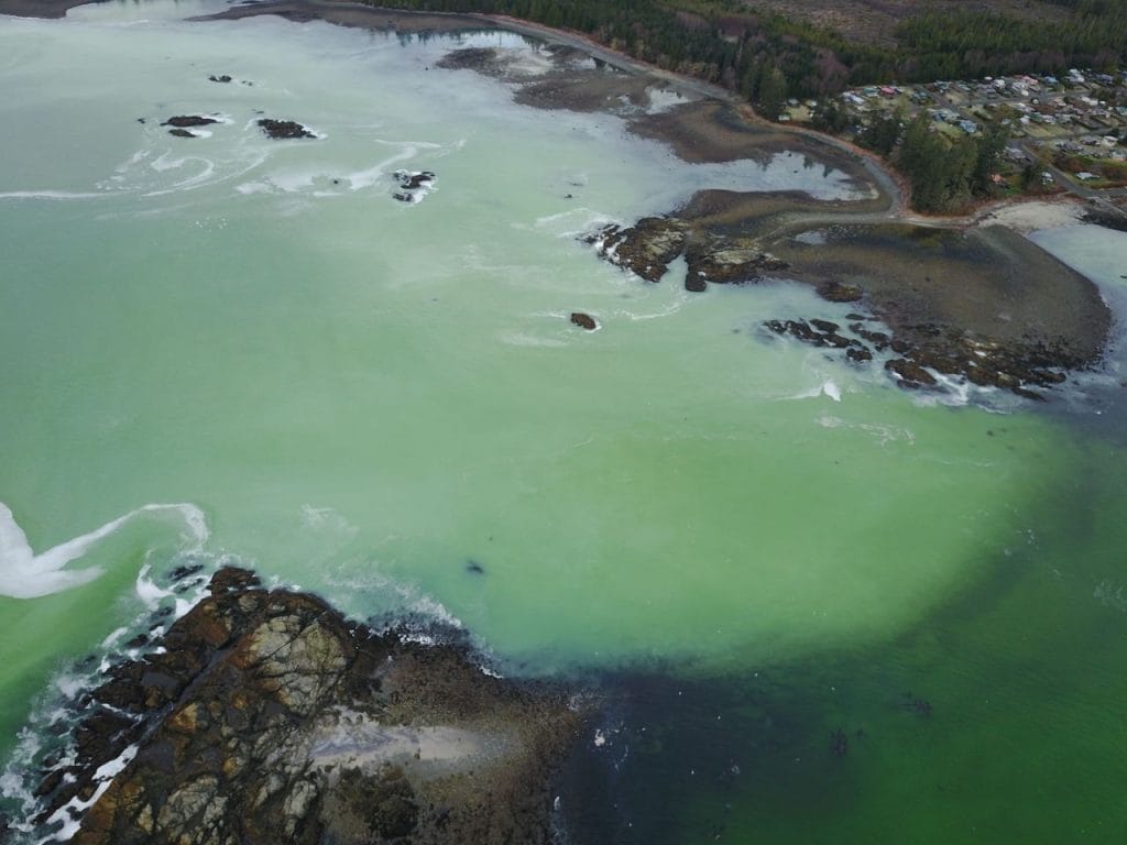
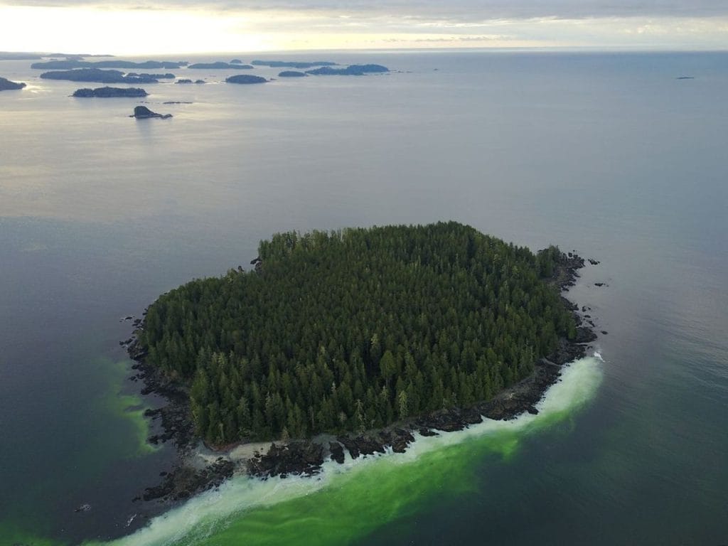
    From mid-February to early May, tiny silvery Pacific herring gather along the shallow coastlines of Vancouver Island off British Columbia, Canada. In these sheltered waters, they spawn; female fish produce sticky eggs and males flood the area with milt, which turns the water a milky turquoise or green. The colors can be so vivid that the spawn is visible to satellites.

    Barkley Sound, on the island’s southwestern side, frequently hosts spawning, as its rocky shoreline provides protection and the pockets of lower salinity that the fish favor. After spawning, the fish migrate back to their feeding grounds in deeper, nutrient-rich waters. (Image credit: R. Cutler; via NASA Earth Observatory)
    A herring spawn clouding the waters along Vancouver Island on February 16, 2026.
    A herring spawn clouding the waters along Vancouver Island on February 16, 2026.
    A herring spawn event near Forbes Island in Barkley Sound turns the shoreline green.
    A herring spawn event near Forbes Island in Barkley Sound turns the shoreline green.
    Fediverse Reactions