Turbulence, the chaotic regime of fluid dynamics, is a complicated beast. It’s hard to analyze or predict, but we do understand some general ideas about it, like the fact that energy starts out in large eddies, cascades down smaller and smaller ones, and finally gets dissipated at the smallest scales, where viscosity snuffs them out. But that’s only true in three dimensions.
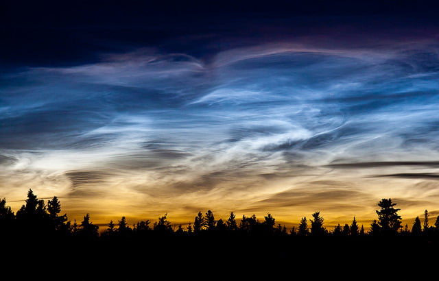
Two-dimensional turbulence – what you get when you confine your fluid to a flat plane – is even weirder. When turbulence is flat, you can actually get an inverse energy cascade, where the energy of small eddies can add up to feed bigger ones. For awhile, this was treated as a mathematical curiosity; after all, we live in a three-dimensional world. But there are situations in life that are nearly two-dimensional, like the surface of a soap bubble or the atmosphere of a planet (which is typically exceptionally thin compared to the planet’s radius). And, little by little, scientists are collecting evidence that this inverse cascade – a flow of energy from small scales to larger ones – does actually happen in the real world. Understanding how this works may explain why hurricanes can intensify even when conditions are “wrong” and how Jupiter’s Great Red Spot has persisted for centuries. To learn more, check out Quanta Magazine’s full article on the work. (Image credit: NASA et al., M. Appel; via Quanta; submitted by Kam-Yung Soh)