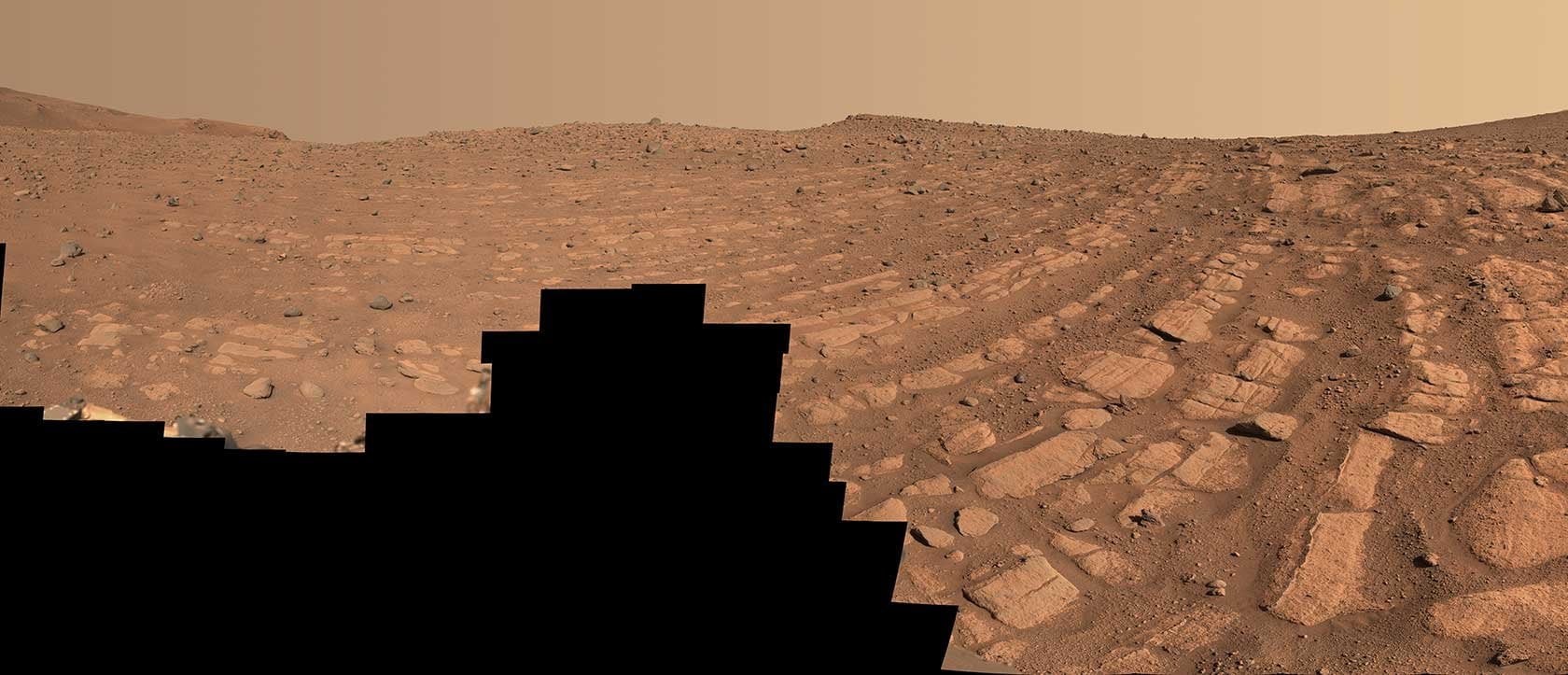
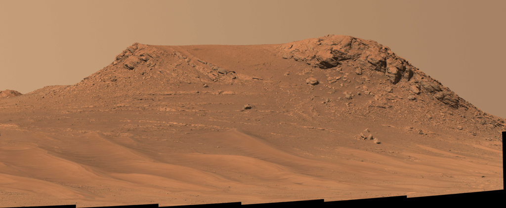
Older models of Mars assumed a liquid metal core beneath a solid mantle of silicates, but recent studies indicate that structure is missing at least one layer. Using data from the InSight lander’s seismometer, two teams independently calculated that a liquid silicate layer must surround the planet’s core. In September 2021, three meteorite pieces impacted Mars far from the InSight lander’s position. Since the Mars Reconnaissance Orbiter could exactly pinpoint the impact location, researchers were able to calculate just how long it took seismic waves from the impact to reach the lander.
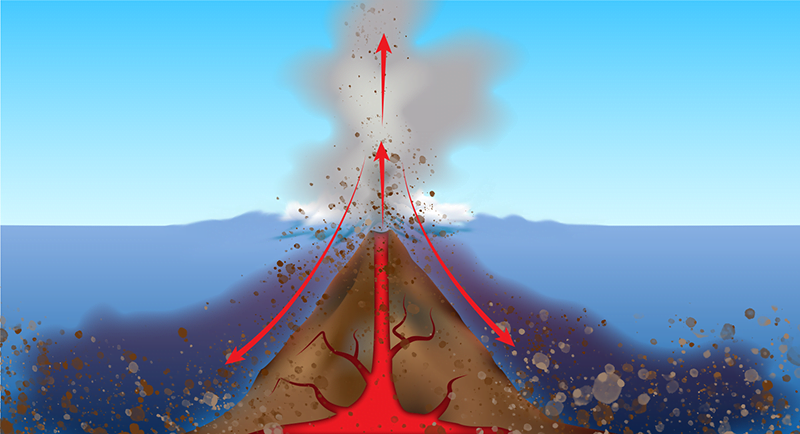
Like on Earth, Mars has two varieties of seismic wave: transverse S-waves that only travel through solids and longitudinal P-waves that travel through both liquid and solid layers. S-waves reflect off any liquid-solid boundary, following a different path to a seismometer than P-waves that refract across the boundary and travel through liquid. For more of the story behind this discovery, check out this article at Physics Today. (Image credit: Mars – NASA/JPL-Caltech/University of Arizona, illustration – J. Sieben/J. Keisling; research credit: H. Samuel et al. and A. Khan et al.; via Physics Today)


 form and break.")