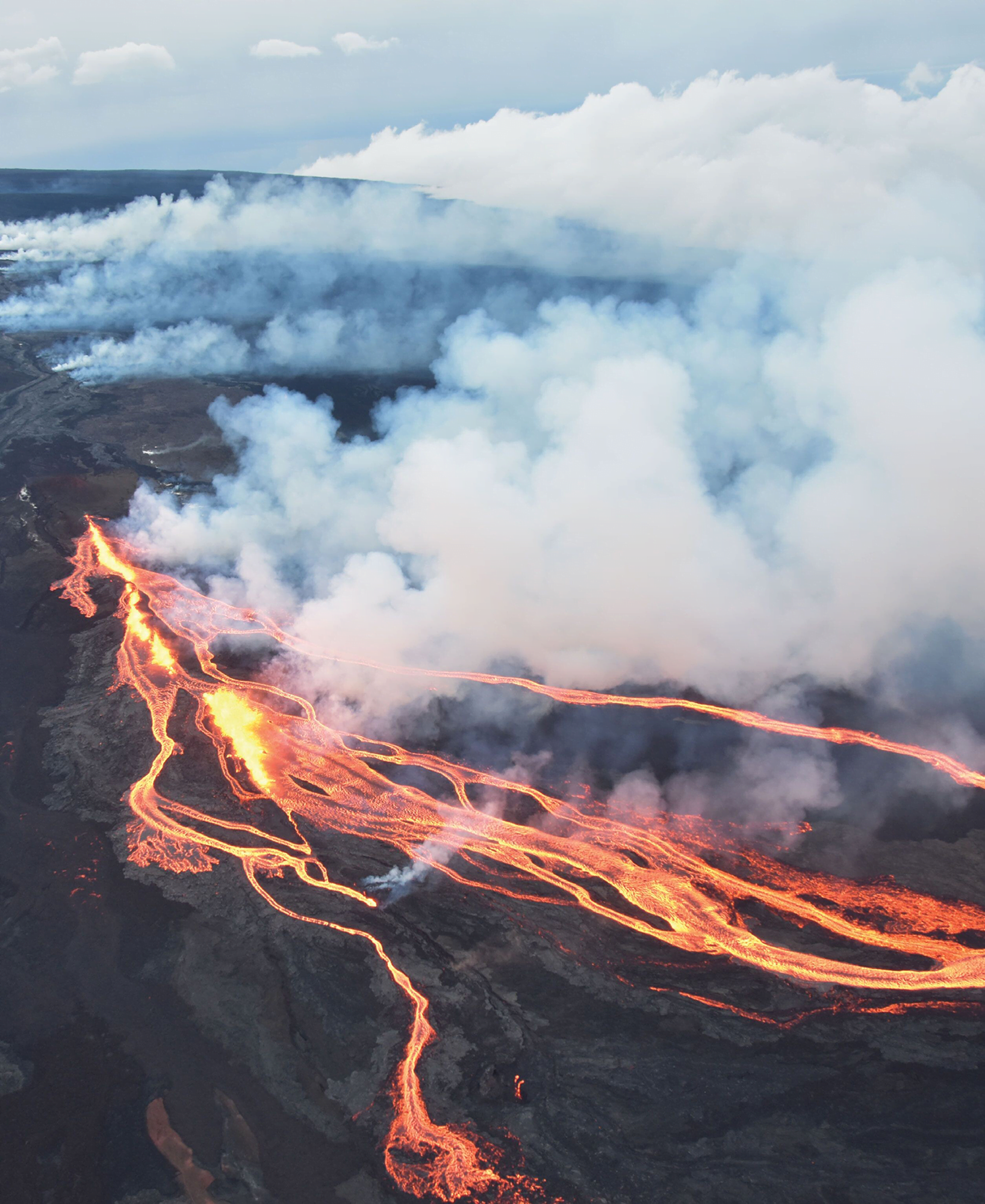
Few volcanoes are as well-studied as those of the Big Island of Hawai’i. With a host of seismic monitors and frequent eruptions, scientists know the near-surface region of Hawai’i well. But a recent study looked at nearly 200,000 seismic events after the 2018 collapse of Kilauea’s crater and found hints of what goes on much deeper.
Mapping out earthquakes beneath the island revealed a cluster of activity near a village named Pahala. These earthquakes took place 36 to 43 kilometers below the surface and seem to be connected to magma filling a sill complex there. From that deep reservoir, the team was also able to map seismic activity leading upwards to both Kilauea and Mauna Loa volcanoes. Despite the 34 kilometers between those two volcanoes, they appear to be fed through the same web of magma! (Image credit: top – USGS, illustration – J. Wilding et al.; research credit: J. Wilding et al.; via Physics Today)

Leave a Reply