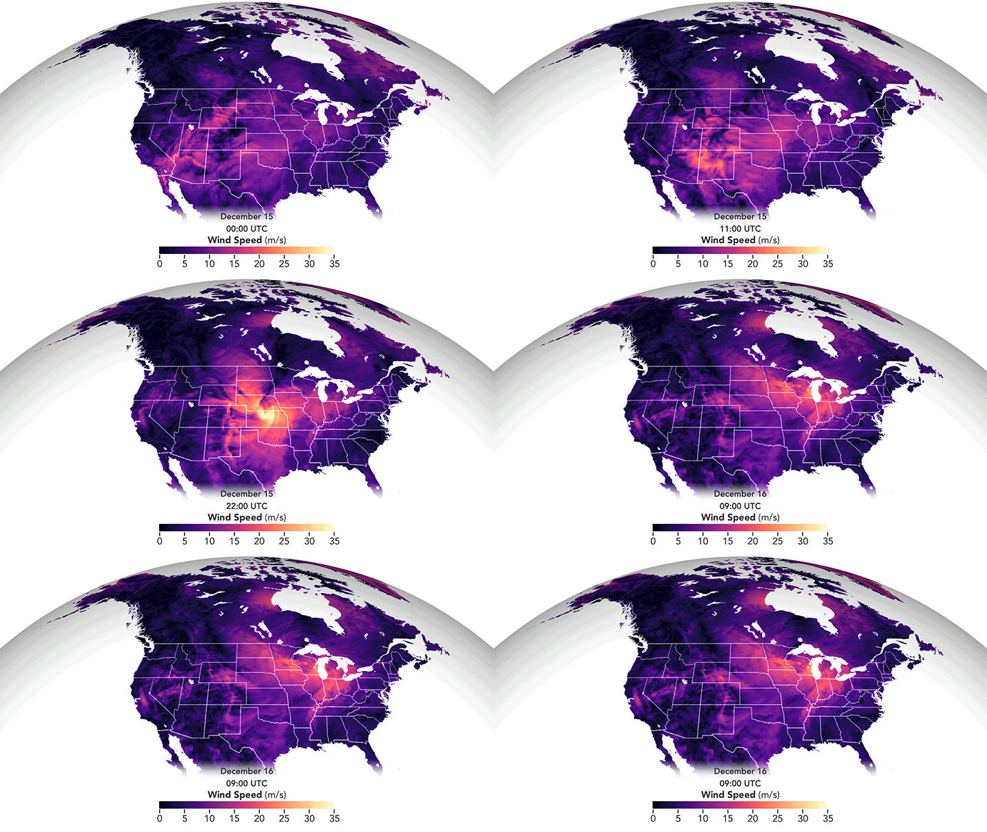
I confess I’d never heard the term derecho before moving to Colorado, but I’ve experienced a few of these wind storms now. They’re intense! Last December’s derecho formed when a high-pressure system in the western United States met a strong low-pressure system over the northern plains. In fluids, flow moves preferentially from areas of high pressure to those with low pressure, and that’s no different when it comes to weather. The strong pressure gradient drove high winds from the Rocky Mountains to Minnesota. The animation above shows the strongest winds in in yellow-white but even the “weaker” pink areas saw winds comparable to a fast-moving car in speed. The visualization is constructed from data reported by ships, buoys, aircraft, satellites, and other sources, all processed through a NASA weather algorithm. (Image credit: J. Stevens/NASA; via NASA Earth Observatory)
December’s Derecho

Leave a Reply