Tag: tornado

  • Why Tornado Alley is North American

    Why Tornado Alley is North American

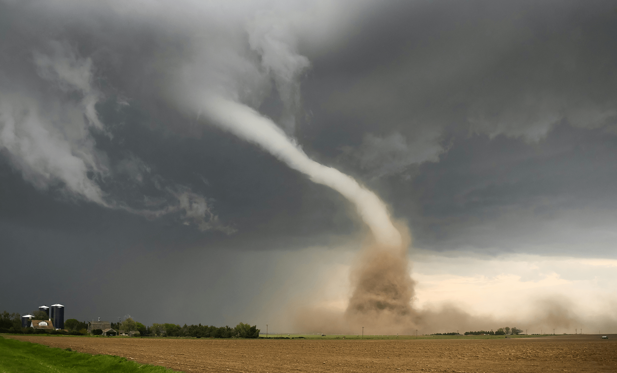
    Growing up in northwest Arkansas, I spent my share of summer nights sheltering from tornadoes. Central North America — colloquially known as Tornado Alley — is especially prone to violent thunderstorms and accompanying tornadoes. That’s due, in part, to two geographical features: the Rocky Mountains and the Gulf of Mexico. Trade winds hitting the eastern slope of the Rockies get turned northward, imparting a counterclockwise vorticity. At the same time, warm moist air carried from the Gulf feeds into the atmosphere, creating perfect conditions for powerful thunderstorms. By this logic, though, South America should see lots of tornadoes, too, courtesy of the Andes Mountains and the moist environs of the Amazon Basin. To understand why South America doesn’t have a Tornado Alley, researchers used global weather models to investigate alternate North and South Americas.

    They found that smoothness is a key ingredient for the upstream, moisture-generating region. Compared to the Amazon, the Gulf of Mexico is incredibly flat. With a flat Gulf, tornadoes abounded in North America, but their numbers dropped once that area was roughened to mimic the Amazon. The opposite held true, too: a smoothed-out Amazon Basin resulted in more simulated South American tornadoes.

    For those in Tornado Alley, the results don’t offer much hope for mitigating our summer storms — we can’t exactly roughen the ocean. But the study does sound a word for warning for South America; the smoother the Amazon region becomes — due to mass deforestation — the more likely tornadoes become in parts of South America. (Image credit: G. Johnson; research credit: F. Li et al.; via Physics World)
  • Tornadoes in a Bucket

    Tornadoes in a Bucket

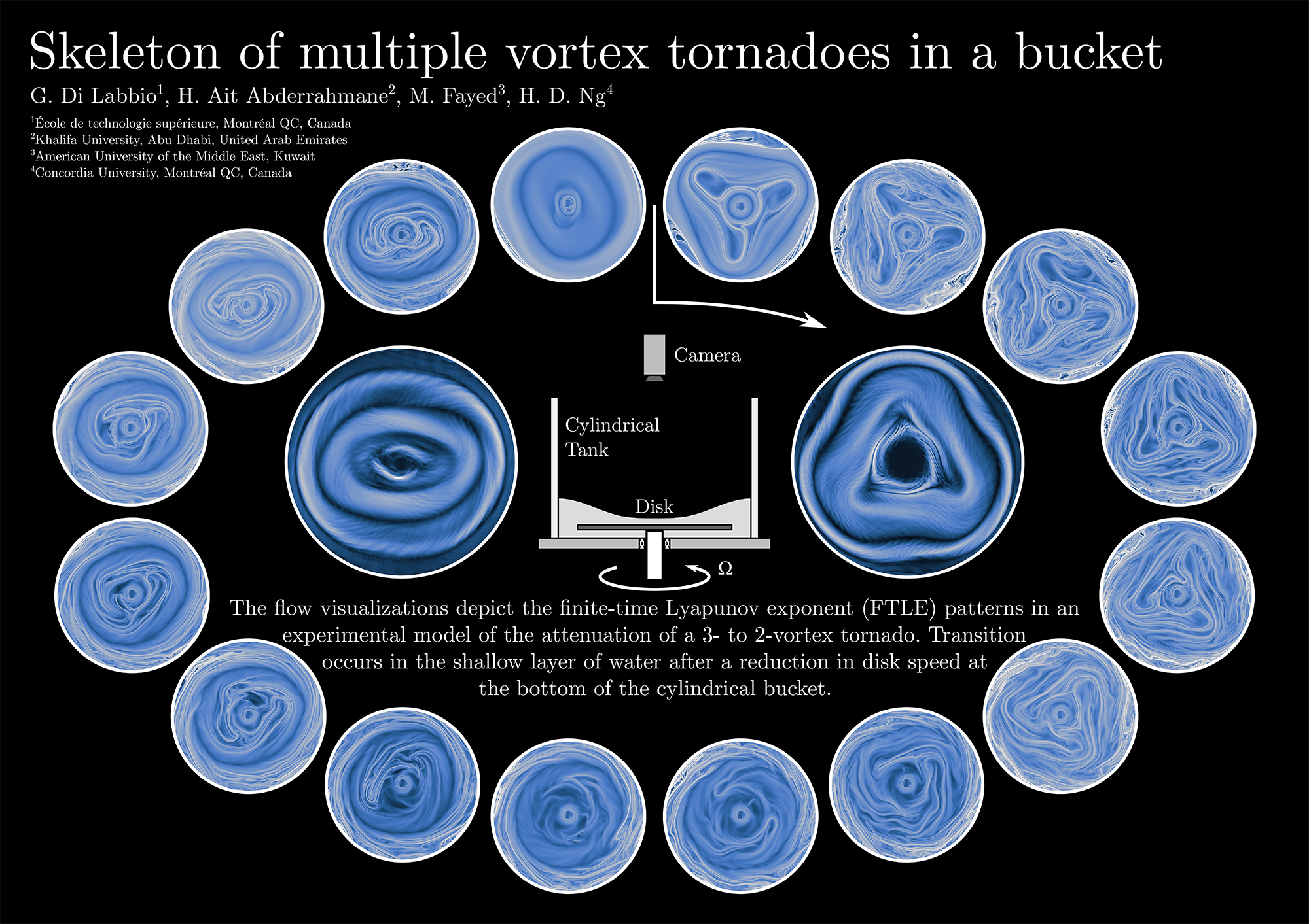
    In nature, some powerful tornadoes form additional tornadoes within their shear layer. These subvortices revolve around the main tornado, causing massive destruction in their wake. In the laboratory, researchers create a similar multi-tornado system with a spinning disk at the bottom of a shallow, cylindrical layer of water. Depending on how fast the disk spins, different numbers of subvortices form around the main vortex.

    In this poster, researchers show the transition from a 3-subvortex system to a 2-subvortex one. Starting at the 12 o’clock position and moving clockwise, we see 3 subvortices arranged in a triangle. A sudden change in the disk’s rotation speed destabilizes the system, causing the subvortices to break down and shift into a new 2-subvortex configuration. As this happens, material that was isolated in each subvortex (darker blue regions) is suddenly able to mix. That suggests that a real-world multiple vortex tornado might suddenly shed debris if it lost enough angular momentum. Back in the lab, though, the shift to a stable 2-subvortex system once again isolates material in individual subvortices and prevents it from mixing with the rest of the flow. (Image and research credit: G. Di Labbio et al. 1, 2)

  • Featured Video Play Icon

    “Vorticity 5”

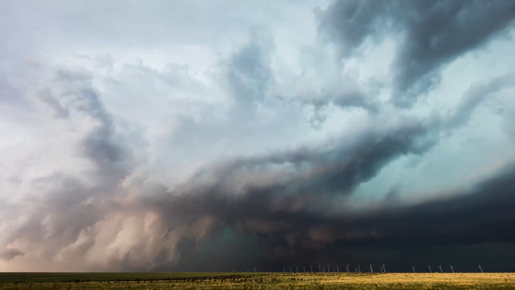
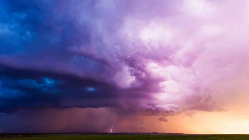
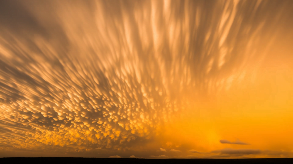
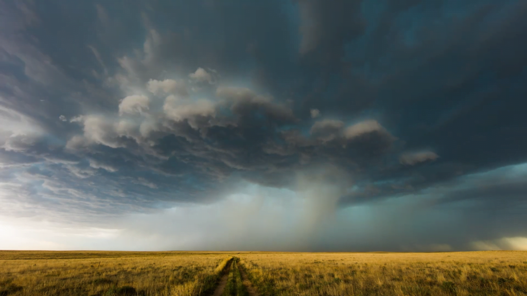
    Photographer and stormchaser extraordinaire Mike Olbinski is back with the fifth volume in his “Vorticity” series. Shot over the 2022 and 2023 tornado seasons in the U.S. Central Plains, this edition has virtually everything: supercells, microbursts, lightning, tornadoes, and haboobs. There’s towering convection and churning, swirling turbulence. It’s a spectacular look at the power and grandeur of our atmosphere. (Video and image credit: M. Olbinski)

  • Stormy Skies

    Stormy Skies

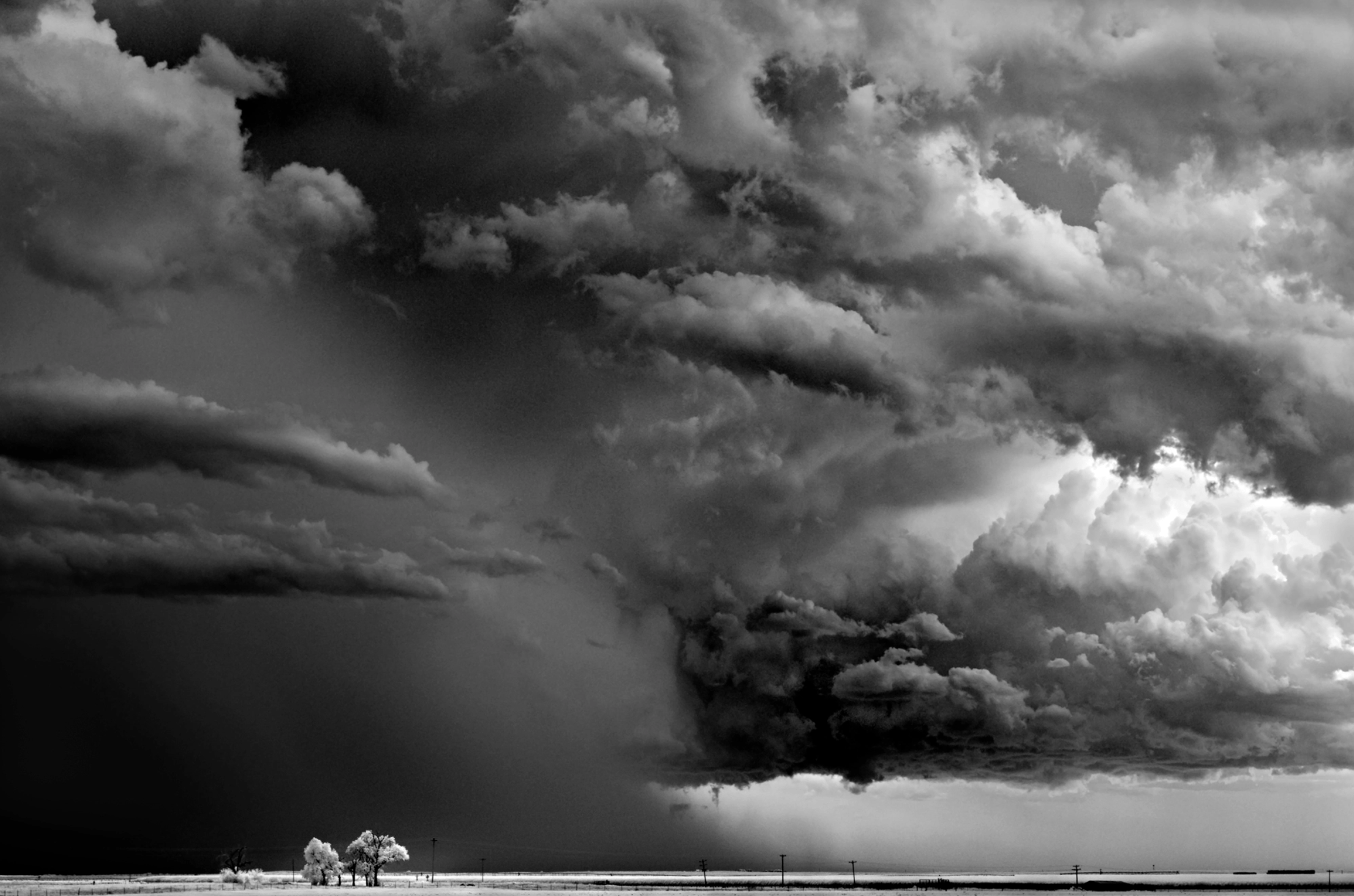
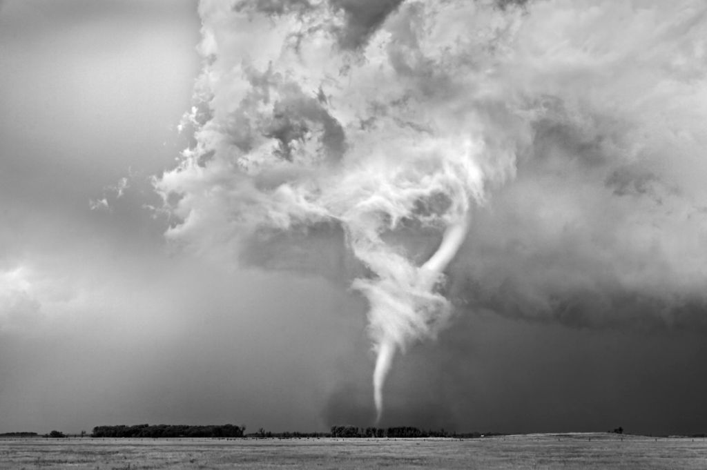
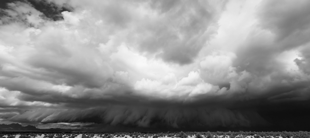
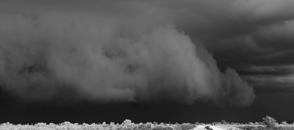
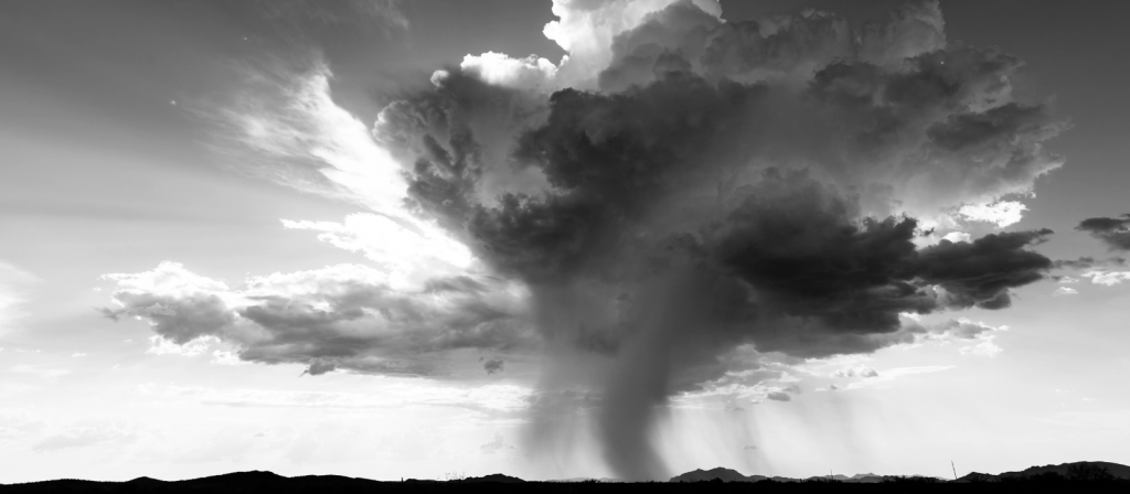
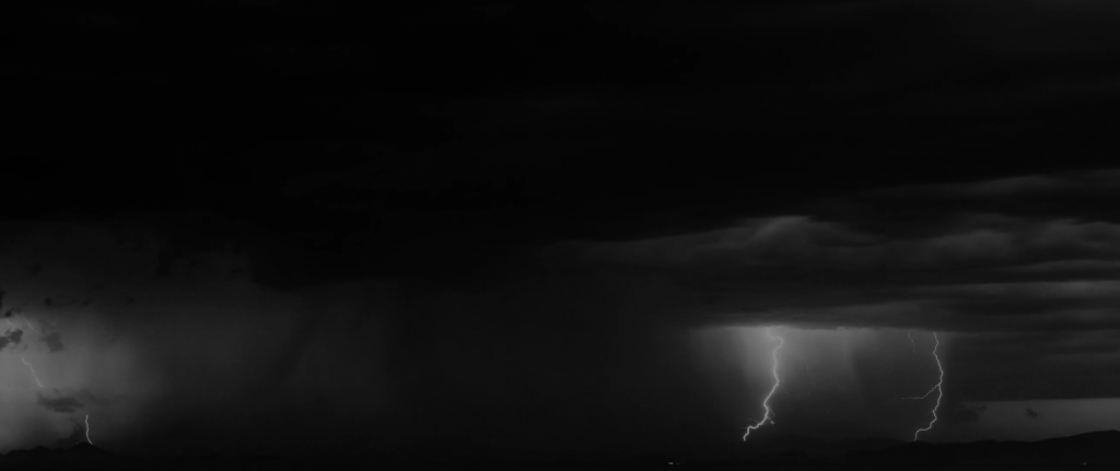
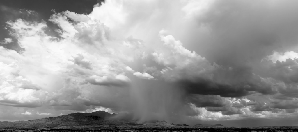
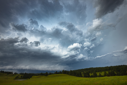
    Photographer Mitch Dobrowner captures the majestic and terrifying power of storms in his black and white images. Towering turbulence, swirling vortices, and convective clouds abound. See more of his work at his website and Instagram. (Image credit: M. Dobrowner; via Colossal)

  • Featured Video Play Icon

    “Reverent”

    Today, enjoy this moody black-and-white short film of storm timelapses. Photographer Mike Olbinski is a master of this subject. I never tire of watching his towering convective supercell thunderstorms or his picturesque microbursts. The lightning-lit clouds in the latter half of the film are particularly spectacular (assuming you do not have sensitivities to flashing lights). And there are a few haboobs and a tornado in there for good measure, too. (Image and video credit: M. Olbinski)

  • Featured Video Play Icon

    Chasing Tornadoes

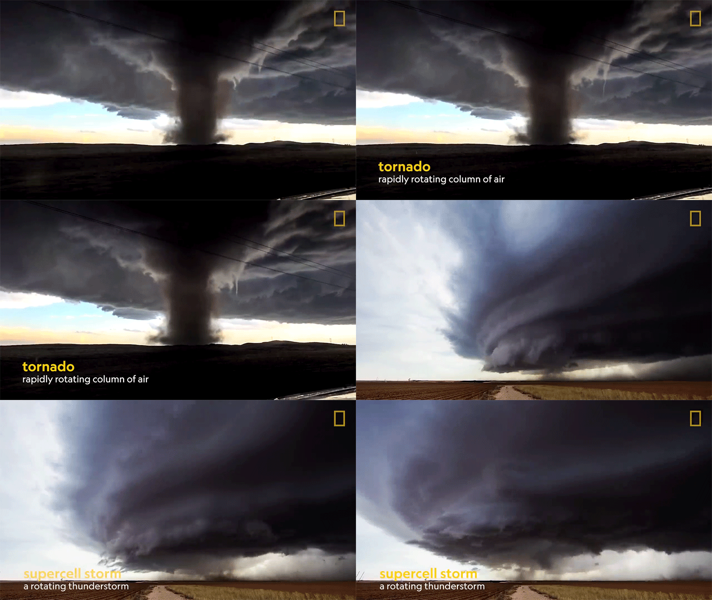
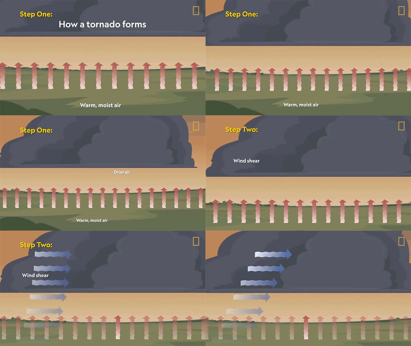
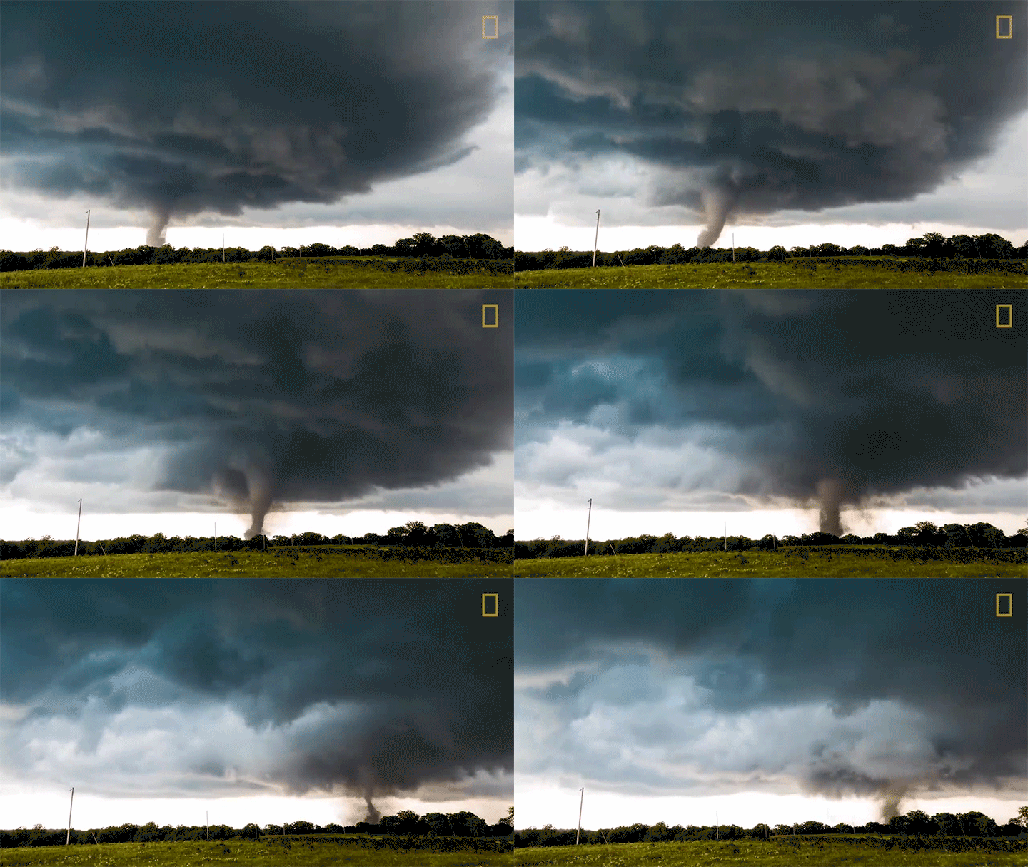
    Tornadoes are some of the most powerful storms on Earth. Their difficult-to-predict nature means that we still have a relatively scant understanding of exactly how they form. We know the conditions that promote their development — warm, moist rising air, wind shear, and rotation — but how and when those translate into a dangerous funnel cloud is harder to pin down. In this video, we hear from one of National Geographic’s storm researchers, Anton Seimon, who chases these storms in search of answers. (Image and video credit: National Geographic)

  • Featured Video Play Icon

    “Stormscapes 4”

    Frightening as they can be in the moment, storms have a power and majesty all their own. I’ve never seen a better way to capture that than through timelapse, and photographer Nicolaus Wegner offers a great one in “Stormscapes 4″. I particularly like how his frame captures the motion of storms and how they shear, rotate, and billow as they evolve. With a quick glance upward, it’s easy to miss that motion, even if it is fundamental to these storms. Sit back and enjoy.  (Video and image credit: N. Wegner)

  • Featured Video Play Icon

    “Vorticity 2”

    There’s no better way to appreciate our atmosphere than through timelapse, and photographer Mike Olbinski is a master at capturing the beauty and power of nature at work through this medium. In “Vorticity 2″, he highlights two full seasons of storm chasing in an incredible seven-and-a-half minutes. Prepare yourself for dramatic cloudscapes, torrential rains, and even twin tornadoes. This one deserves a watch on the biggest screen you have available. (Image and video credit: M. Olbinski; via Colossal)

  • Tornado from a Drone

    Tornado from a Drone

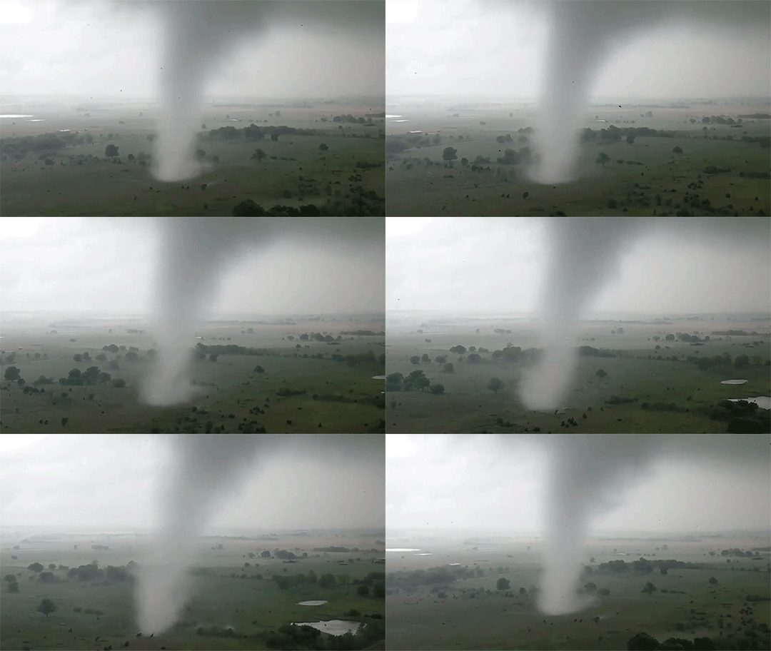
    One of the challenges in studying tornadoes is being in the right place at the right time. In that regard, storm chaser Brandon Clement hit the jackpot earlier this week when he captured this footage of a tornado near Sulphur, Oklahoma from his drone. He was able to follow the twister for several minutes until it apparently dissipated.

    Scientists are still uncertain exactly how tornadoes form, but they’ve learned to recognize the key ingredients. A strong variation of wind speed with altitude can create a horizontally-oriented vortex, which a localized updraft of warm, moist air can lift and rotate to vertical, birthing a tornado. These storms most commonly occur in the central U.S. and Canada during springtime, and researchers are actively pursing new ways to predict and track tornadoes, including microphone arrays capable of locating them before they fully form. (Image and video credit: B. Clement; via Earther)

  • Featured Video Play Icon

    Tornadoes, Fire, and Ice

    It’s time for another look at breaking fluid dynamics research with the latest FYFD/JFM video! This time around, we tackle some geophysical fluid dynamics, like listening to the sounds newborn tornadoes make below the range of human hearing; studying how melting ice affects burning oil spills; and how salt sinking from sea ice affects the ocean circulation. Check out the full video below for much more! If you’ve missed any of the previous videos in the series, you can check them out here. (Image and video credit: T. Crawford and N. Sharp)