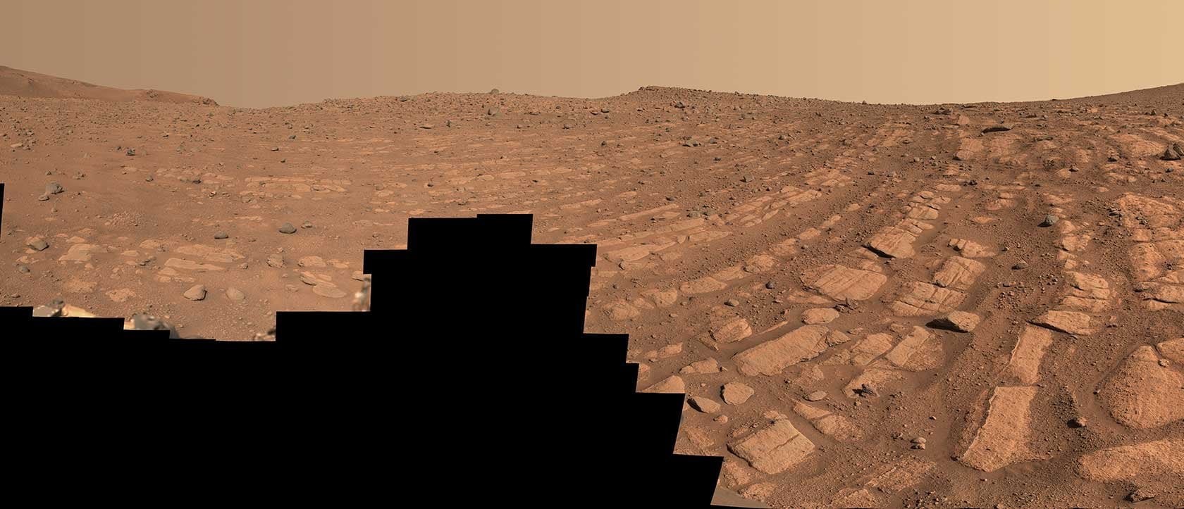
For the first time, scientists have found evidence of deep, fast-flowing ancient rivers on Mars. After examining images taken recently by the Perseverance rover in Jezero Crater, fluvial experts have spotted familiar signs of turbulent river flow. The mosaic above shows an area nicknamed “Shrinkle Haven,” where curved bands of rock mark the landscape. Although scientists are confident that a powerful river deposited these rocks, they’re still debating whether that river was a meandering one like the Mississippi or a braided river like the Platte.
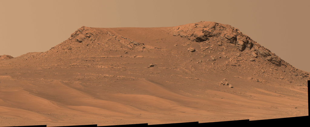
In another area, known as “Pinestand,” scientists spotted hills as high as 20 meters tall with clear sedimentary layers. Like Shrinkle Haven’s rock bands, formations like this are most often associated with a large, fast-flowing river. (Image credits: NASA/JPL-Caltech/ASU/MSSS; via Gizmodo; see also NASA JPL)