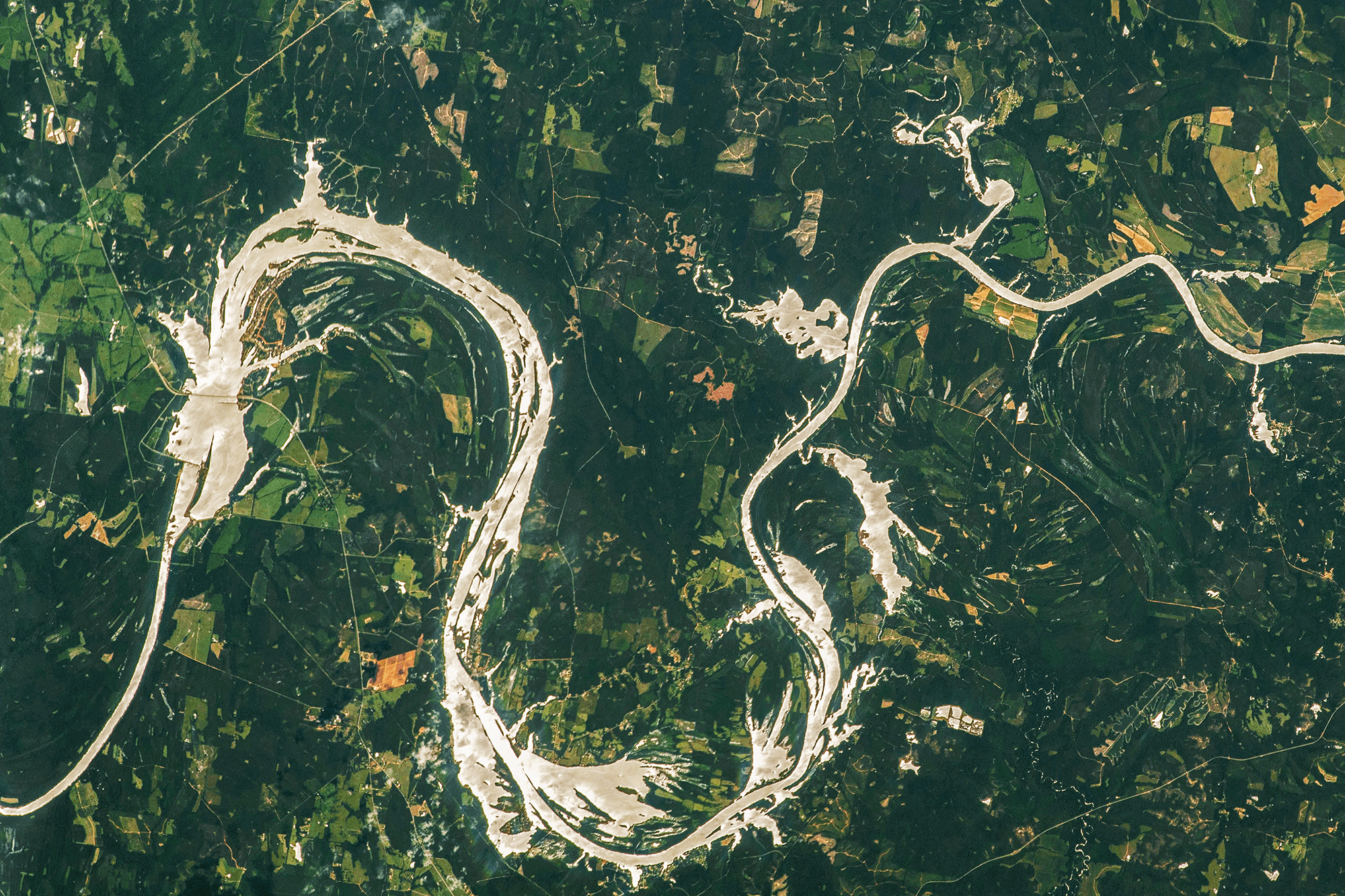
Over time, rivers naturally curve and meander. As water accelerates around a river bend’s curve, it creates a secondary flow that carves sediment away from the outer bank and deposits it on the inner one. That, in turn, makes the river bend sharper until it eventually cuts part of the river off into an oxbow lake. In this astronaut photo, we see the Alabama River flowing right-to-left. The river’s natural meander is constrained by the dam on the center left, which widens the river upstream. The higher water level upstream creates the feather-like floodplains lining the river. (Image credit: NASA; via NASA Earth Observatory)
Meandering Along the Alabama River
Leave a Reply