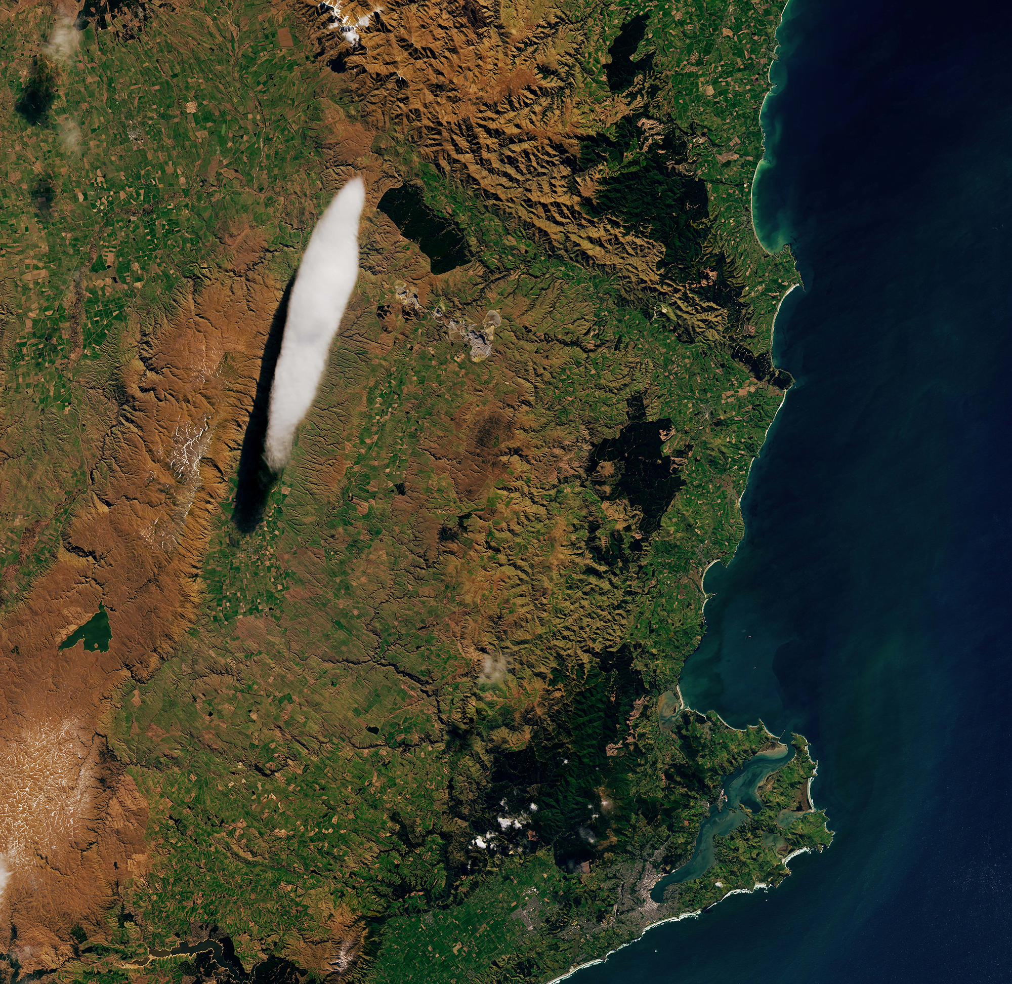
Mountain ridgelines push oncoming winds up and over their peaks, creating the conditions for some spectacular condensation. If the displaced air is moist enough, it cools and condenses into a cloud that appears to hover over the peak. In reality, winds are constantly moving up and over the mountain, condensing into visible cloud where the temperature is cool enough and then morphing back to water vapor once temperatures increase. This process can create stacked lenticular clouds like those seen here. This spot in New Zealand sees lenticular clouds so often that the formation has its own name: Taieri Pet! (Image credit: satellite image – L. Dauphin, b/w – National Library; via NASA Earth Observatory)

Leave a Reply