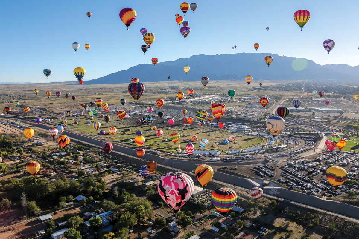
Albuquerque, New Mexico’s unique weather characteristics make it a popular destination for hot-air balloonists. While balloonists can control their altitude by warming or venting the air in their balloon, their horizontal travel comes at the mercy of the wind. (Just ask the erstwhile Wizard of Oz.) What makes Albuquerque special is a combination of topography, dry air, and altitude. Together, these features create the “Albuquerque box,” a circulation that gives south-flowing drainage winds below north-flowing prevailing winds.
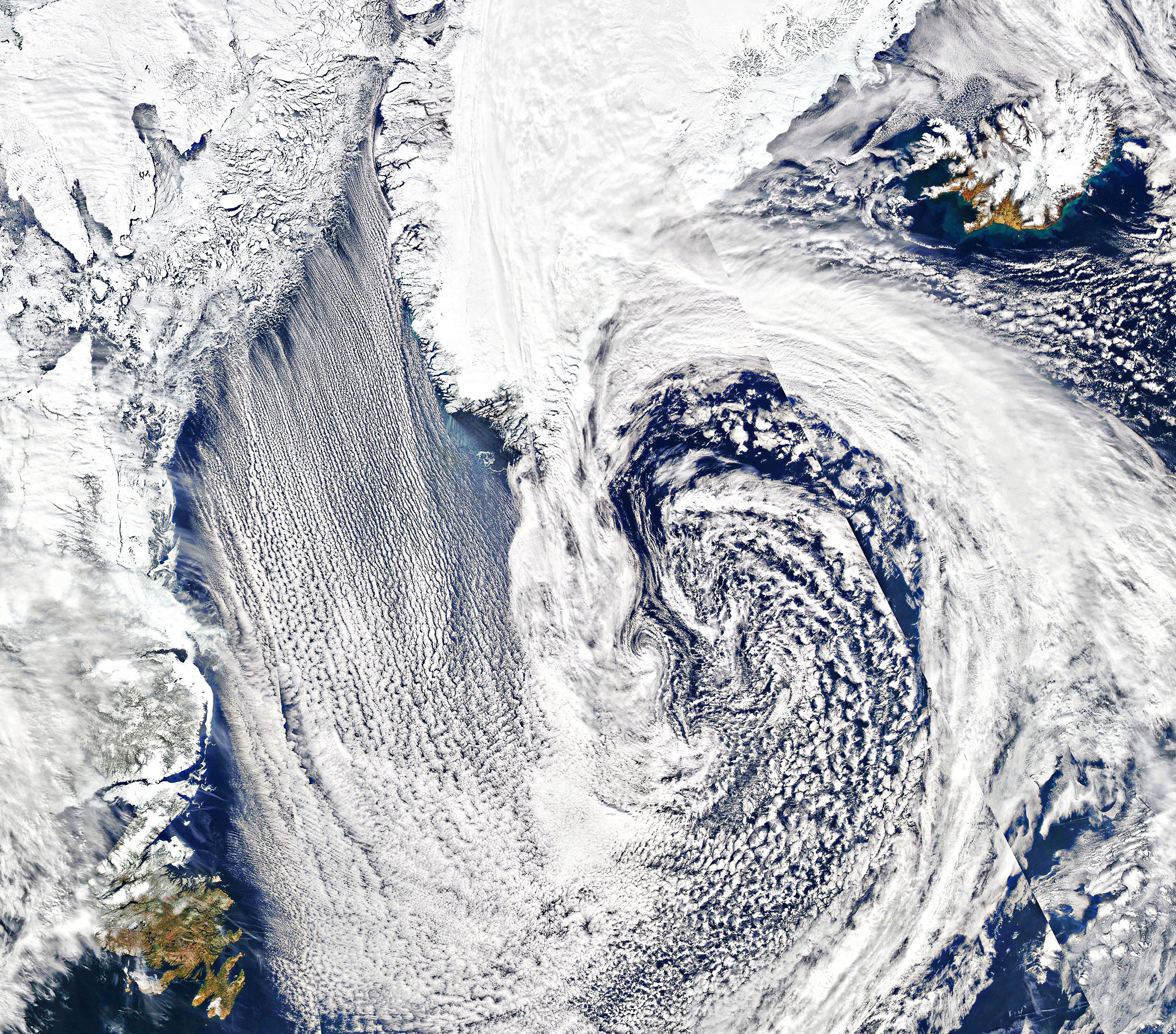
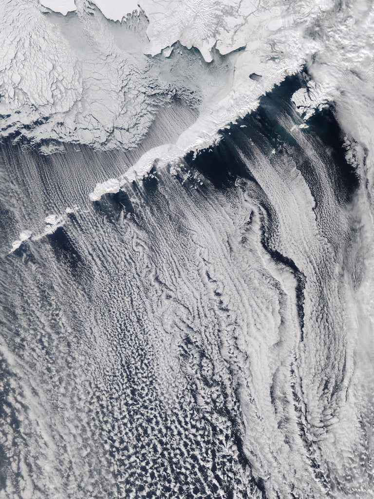
The key to the box’s flow is a temperature inversion, where cooler, denser air is trapped near the surface and lighter, warmer air sits above. This typically occurs after a night of clear skies when much of the ground layer’s warm gets radiated away to space — something that’s easily done in high, dry altitudes.
Temperature inversions like this don’t last very long, though; by late morning, the sun’s warmth will dismantle the Albuquerque box. Still, it is a frequent enough occurrence, especially in the stable atmospheric conditions common in the autumn, that the city hosts an International Balloon Fiesta every October. (Image credit: B. Bos; via Physics Today)