Tag: floods

  • Extreme Weather and Climate Change

    Extreme Weather and Climate Change

    Extreme weather events like floods, hurricanes, atmospheric rivers, heat waves, and droughts are increasingly discussed in terms of the effects of climate change. Because complex systems have complex causes, it’s difficult to draw exact lines of causality between human-made climate change and a given weather event. But scientists have built an array of tools that help address two key questions: 1) how much more extreme was this weather due to climate change, and 2) how much more likely was this extreme event due to climate change?

    Comparing (a) the actual flooding from Hurricane Harvey with (b) the estimated flood that would have been without climate change. The depth of actual flood waters was about 1m greater due to climate change.
    Comparing (a) the actual flooding from Hurricane Harvey with (b) the estimated flood that would have occurred without climate change. The depth of actual flood waters was about 1m greater due to climate change.

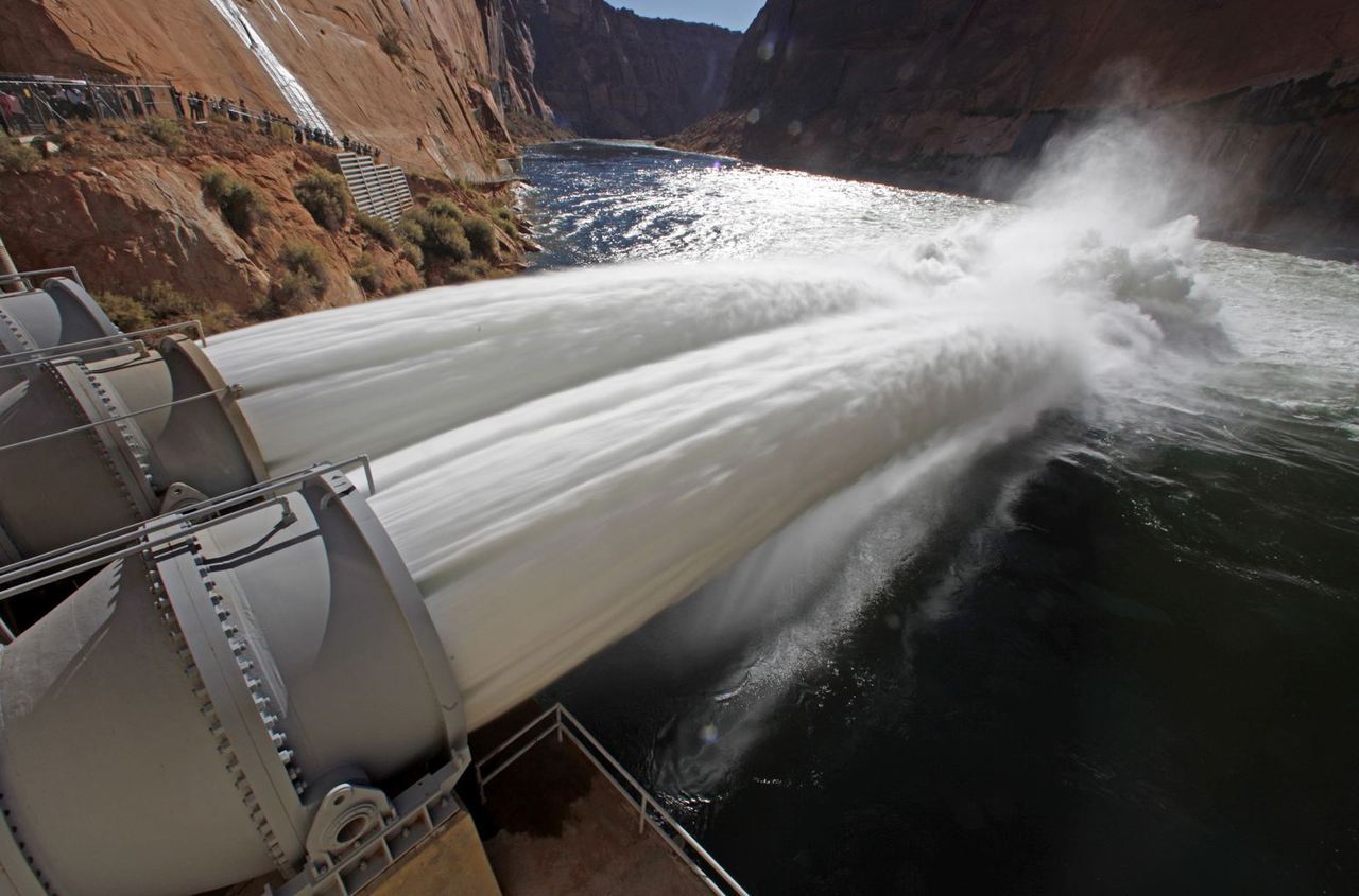
    To answer the first question, scientists often use hindcasts. In these studies, scientists first build a simulation that mirrors the actual event, like Hurricane Harvey’s stall over Houston, Texas. Once their simulated storm reflects the actual one, they tweak the initial conditions to reflect a world without climate change and see how the storm differs. By comparing the actual and simulated floods (image above), scientists can estimate just how much worse climate change made things. In Harvey’s case, they found that human activity increased the overall precipitation by 19% and that 32% of the flooded homes in Harris county would not have flooded in a world without climate change. Detailed results from that particular study can be explored in the web portal here. (Image credits: Flooded street – J. Gade, Harvey flooding – M. Wehner; research credit: M. Wehner in Physics Today)

  • Featured Video Play Icon

    Shaping the Earth Through Cataclysm

    Though we often think of the Earth as changing slowly, some events are so catastrophic that they change the landscape irrevocably. Some 15,000 years ago, a massive lake covered what is now Missoula, Montana. Dammed in by a 2,000-foot-tall wall of glacial ice, this lake contained more water than Lakes Ontario and Erie combined. But when the ice dam broke, the lake drained in days, sending a deluge across the Pacific Northwest.

    The floodwaters carved new canyons and waterfalls, left massive ripples in the landscape, and deposited rocks from thousands of kilometers away as they raged their way to the sea. It was one of the most massive floods the Earth has ever seen. And, incredibly, it happened over and over as the lake refilled and broke again. Check out this Be Smart video for even more of this incredible story. (Image and video credit: Be Smart)

  • Featured Video Play Icon

    Yellowstone Flooding

    In June of 2022, the area around Yellowstone National Park saw catastrophic flooding. The combined effects of rainfall and snowmelt overwhelmed waterways and washed out many roads and other structures in and around the park. In this video, Grady from Practical Engineering breaks down the floods and their aftermath, including how the area can be rebuilt. His depiction of the flood, from an engineering standpoint, is especially helpful, as he illustrates conditions across the park using flow sensor data. It helps explain the damage and gives viewers a sense for how engineers monitor and analyze these events. (Image and video credit: Practical Engineering)

  • Featured Video Play Icon

    Preventing Flooding

    The Dutch have been exceptional water engineers for centuries, a necessity in a country where more than a quarter of its territory lies below sea level. After a devastating flood in the early 1950s, the country embarked on a decades’ long endeavor to build the massive Delta Works that now protect a large portion of the population from oceanic storm surges that would otherwise flood the countryside.

    As part of their efforts to instill resiliency both along the coast and upstream, the Netherlands has shifted dykes, created floodplain habitats, and built water storage into new buildings. With communities around the world at greater flood risk than ever as our climate changes, the Netherlands serves as a shining example of what’s possible with proper planning and investment. (Video and image credit: TED-Ed)

  • When the Mediterranean Flooded

    When the Mediterranean Flooded

    Around 6 million years ago, the African and Eurasian plates moved together, cutting the Mediterranean Sea off from the Atlantic. Without an influx of water from the Atlantic, evaporation began removing more water from the Mediterranean than rivers could replace. The sea dried out almost completely over the course of a couple thousand years.

    About 5.3 million years ago, the Straits of Gibraltar reopened, creating a massive flood into the Mediterranean known as the Zanclean Flood. Water rushed down the straits and into the Mediterranean at speeds as high as 40 m/s (90 mph). At its peak, the Zanclean Flood is estimated to have reached rates 1000 times greater than the volumetric flow rate of the Amazon River.

    A similar breach flood occurred in the Black Sea within the past 10,000 years when the Bosporus became unblocked. That flood likely had a devastating impact on Neolithic societies in the area and may be the inspiration for the floods described in the Epic of Gilgamesh and the Bible. (Image credit: BBC, source)

  • Simulating Floods

    Simulating Floods

    Last week officials opened the Glen Canyon Dam’s bypass tubes to release a simulated flood on the Colorado River, which runs through the Grand Canyon. This is the first of several planned “high-flows” intended to imitate the positive effects of natural floods on the area. Officials hope the increased water flow will help deposit sediment along the Grand Canyon’s walls at heights unreachable at the lower water levels. This sediment transport should help restore the natural sandbars and beaches that serve as breeding grounds for native fish.  The floods will also clear vegetation from the riverside camping spots utilized by tourists. (Photo credit: Reuters/Bob Strong; submitted by Bobby E.)